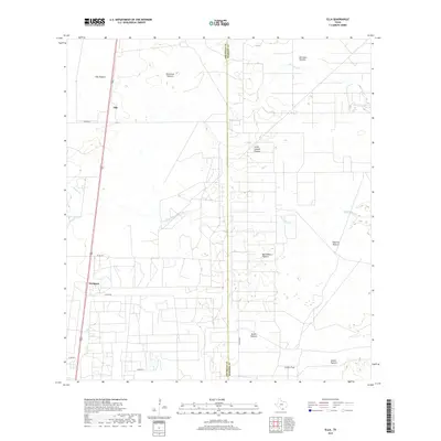
2019 Map of Ella
USGS Topo · Published 2019About this map
Ella and Seeligson serve as the primary points of settlement in this South Texas landscape, situated along a north-south transportation corridor in Jim Wells County. The region is defined by a dense patchwork of large grazing lands, reflecting a ranching heritage through named tracts such as Ella Pasture, Ratamosa Pasture, and Borregos Pasture. These boundaries delineate a long-standing system of land use where ephemeral water sources like Salado Cr and Jaboncillos Cr cross the terrain.
Find a feature on this map
21 named features on this map. Tap any name to fly to it.
Don’t see what you’re looking for? This feature index may not catch every label — zoom into the map to look around manually.
Map Details
Editions of this 2019 Ella Map
This is the sole edition of this map. No revisions or reprints were ever made.
Other maps of this area
1917 · Ben Bolt
USGS Topo · 1:62,500
1921 · Falfurrias
USGS Topo · 1:125,000
1928 · Sarita
USGS Topo · 1:125,000
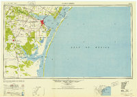
1950 · Corpus Christi
USGS Topo · 1:250,000
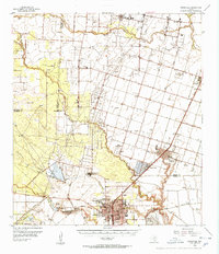
1954 · Kingsville
USGS Topo · 1:62,500
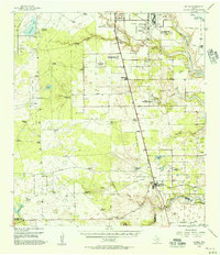
1954 · Riviera
USGS Topo · 1:62,500
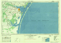
1956 · Corpus Christi
USGS Topo · 1:250,000

1956 · Laredo
USGS Topo · 1:250,000
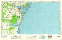
1960 · Corpus Christi
USGS Topo · 1:250,000
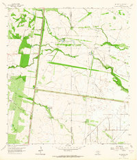
1963 · Ben Bolt SE
USGS Topo · 1:24,000