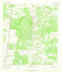
1963 Map of Ella
USGS Topo · Published 1965About this map
Seeligson Oil Field and the Tijerina Canales Blucher Field dominate this Jim Wells County landscape, illustrating the mid-century petroleum infrastructure of South Texas. A dense network of pipelines, tank batteries, and refineries services the fields, particularly around the settlement of Seeligson and the Ebanito Camp. These industrial operations exist alongside traditional ranching lands such as Ratamosa Pasture, Ella Pasture, and Jensen Pasture, where numerous cattle-tending features like the Ella Windmill and Nancy Windmill are scattered across the scrub.
Find a feature on this map
28 named features on this map. Tap any name to fly to it.
Don’t see what you’re looking for? This feature index may not catch every label — zoom into the map to look around manually.
Map Details
Editions of this 1963 Ella Map
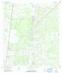
2 editions found
Other maps of this area

1917 · Ben Bolt
USGS Topo · 1:62,500

1921 · Falfurrias
USGS Topo · 1:125,000

1928 · Sarita
USGS Topo · 1:125,000

1950 · Corpus Christi
USGS Topo · 1:250,000

1954 · Kingsville
USGS Topo · 1:62,500

1954 · Riviera
USGS Topo · 1:62,500

1956 · Corpus Christi
USGS Topo · 1:250,000

1956 · Laredo
USGS Topo · 1:250,000

1960 · Corpus Christi
USGS Topo · 1:250,000

1963 · Ben Bolt SE
USGS Topo · 1:24,000