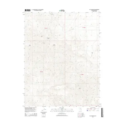
2014 Map of Ella Mountain
USGS Topo · Published 2014About this map
Clover Mountains and the peak of Elly Mtn anchor this high-elevation terrain in Lincoln County. The landscape is defined by a series of dramatic drainages including Ash Canyon, Pennsylvania Canyon, and Acklin Canyon, which carve through the central highlands. Water sources are critical points of reference in this arid environment, marked by Elly Spring and Carson Spring, while Henrie Reservoir sits to the northeast. To the east, the terrain levels into the relatively open Stokes Flat. The 2014 survey reveals a network of primitive roads and trails that follow the natural contours of the land, providing access to these remote canyons and water points. This map documents the essential natural features of the Nevada backcountry, from the seasonal flows of Ash Creek and Pine Creek to the deep recesses of Fife Canyon.
Find a feature on this map
16 named features on this map. Tap any name to fly to it.
Don’t see what you’re looking for? This feature index may not catch every label — zoom into the map to look around manually.
Map Details
Editions of this 2014 Ella Mountain Map
This is the sole edition of this map. No revisions or reprints were ever made.
Other maps of this area
1885 · Pioche
USGS Topo · 1:250,000
1886 · Pioche
USGS Topo · 1:250,000

1954 · Caliente
USGS Topo · 1:250,000
1959 · Caliente
USGS Topo · 1:250,000
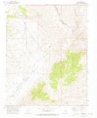
1969 · Elgin
USGS Topo · 1:24,000
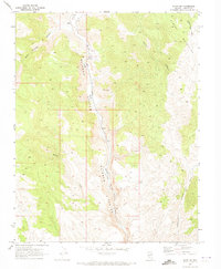
1969 · Elgin NE
USGS Topo · 1:24,000
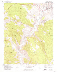
1970 · Caliente
USGS Topo · 1:24,000
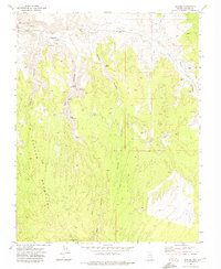
1972 · Eccles
USGS Topo · 1:24,000
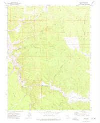
1972 · Islen
USGS Topo · 1:24,000
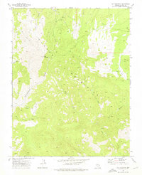
1973 · Ella Mountain
USGS Topo · 1:24,000