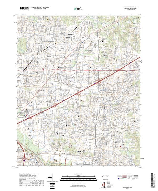
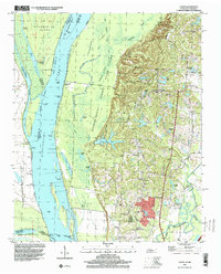
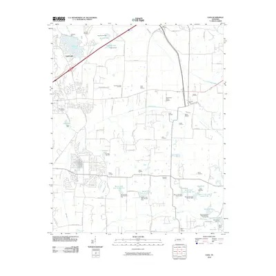
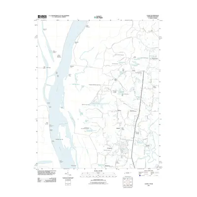
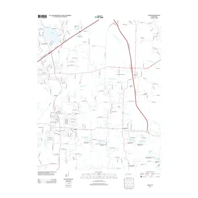
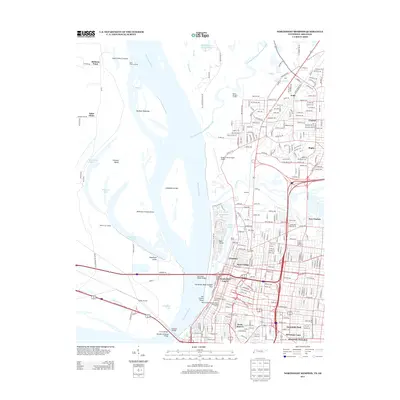
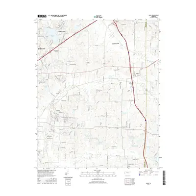
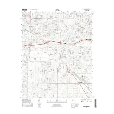
2022 Map of Ellendale
USGS Topo · Published 2022About this map
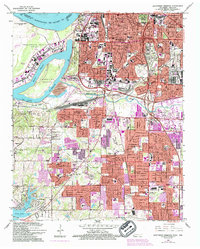
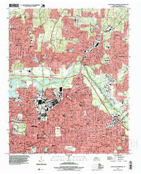
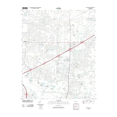
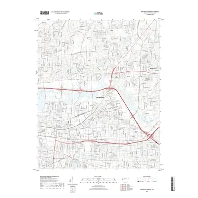
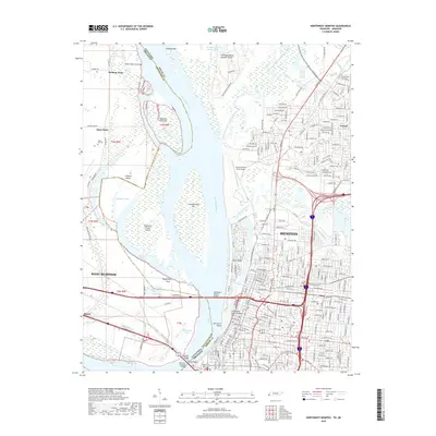
Memphis suburbs and the communities of Bartlett and Cordova dominate this modern landscape, where historical burial grounds are preserved amid a dense network of residential subdivisions. The map reveal a significant concentration of cemeteries and memorial gardens, from the Bartlett-Ellendale Cem and Major Taylor Cem to the sprawling Memphis Funeral Home and Memorial Gardens.
Find a feature on this map
383 named features on this map. Tap any name to fly to it.
Don’t see what you’re looking for? This feature index may not catch every label — zoom into the map to look around manually.
Map Details
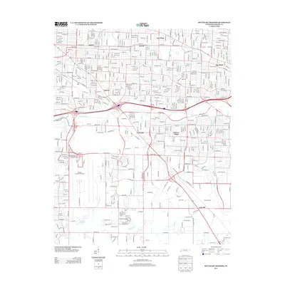
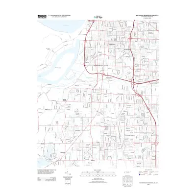
Editions of this 2022 Ellendale Map
This is the sole edition of this map. No revisions or reprints were ever made.
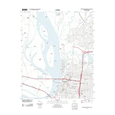
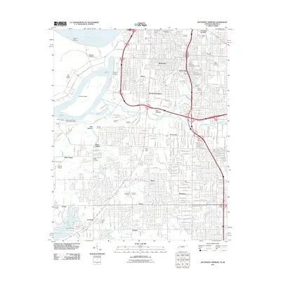
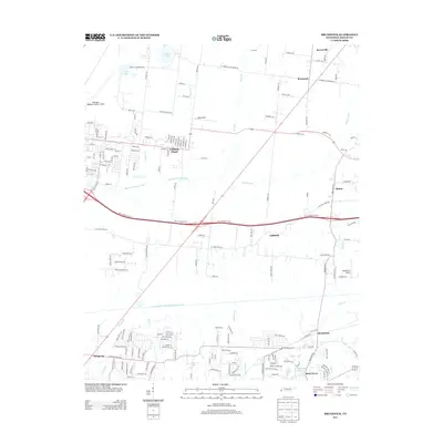
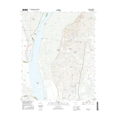
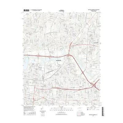
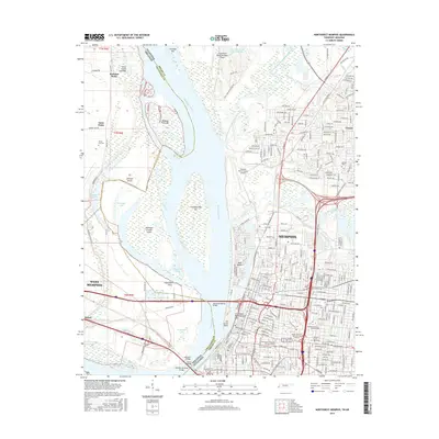
Historical Maps of Memphis Through Time
54 maps found
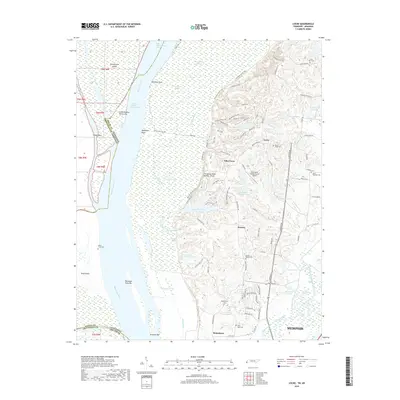
1965 Eads
Shelby County, TN
1965 Ellendale
Shelby County, TN
1965 Northeast Memphis
Shelby County, TN
1965 Northwest Memphis
Shelby County, TN
1965 Southeast Memphis
Shelby County, TN
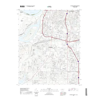
1965 Southwest Memphis
Shelby County, TN
1970 Locke
Shelby County, TN
1970 Pecan Point
Shelby County, TN
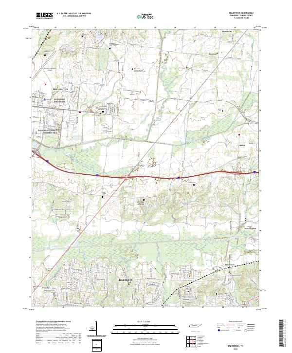
1971 Brunswick
Shelby County, TN
1986 Memphis West
Shelby County, TN
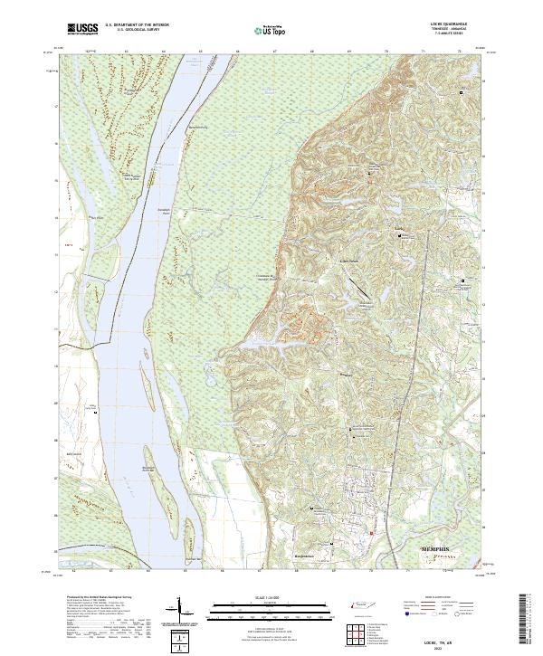
1997 Locke
Shelby County, TN
1997 Northeast Memphis
Shelby County, TN
1997 Northwest Memphis
Shelby County, TN
1997 Southeast Memphis
Shelby County, TN
2010 Brunswick
Shelby County, TN
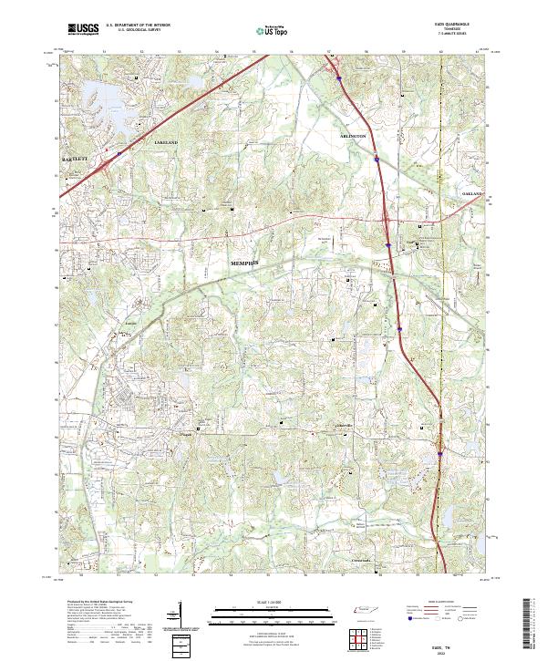
2010 Eads
Shelby County, TN
2010 Ellendale
Shelby County, TN
2010 Northeast Memphis
Shelby County, TN
2010 Southeast Memphis
Shelby County, TN
2011 Locke
Shelby County, TN
2011 Northwest Memphis
Shelby County, TN
2011 Southwest Memphis
Shelby County, TN
2013 Brunswick
Shelby County, TN
2013 Eads
Shelby County, TN
2013 Ellendale
Shelby County, TN
2013 Locke
Shelby County, TN
2013 Northeast Memphis
Shelby County, TN
2013 Northwest Memphis
Shelby County, TN
2013 Southeast Memphis
Shelby County, TN
2013 Southwest Memphis
Shelby County, TN
2016 Brunswick
Shelby County, TN
2016 Eads
Shelby County, TN

2016 Ellendale
Shelby County, TN
2016 Locke
Shelby County, TN
2016 Northeast Memphis
Shelby County, TN
2016 Northwest Memphis
Shelby County, TN
2016 Southeast Memphis
Shelby County, TN
2016 Southwest Memphis
Shelby County, TN
2019 Brunswick
Shelby County, TN

2019 Eads
Shelby County, TN
2019 Ellendale
Shelby County, TN
2019 Locke
Shelby County, TN
2019 Northeast Memphis
Shelby County, TN
2019 Northwest Memphis
Shelby County, TN
2019 Southeast Memphis
Shelby County, TN
2019 Southwest Memphis
Shelby County, TN
2022 Brunswick
Shelby County, TN
2022 Eads
Shelby County, TN
2022 Ellendale
Shelby County, TN
2022 Locke
Shelby County, TN
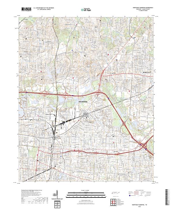
2022 Northeast Memphis
Shelby County, TN
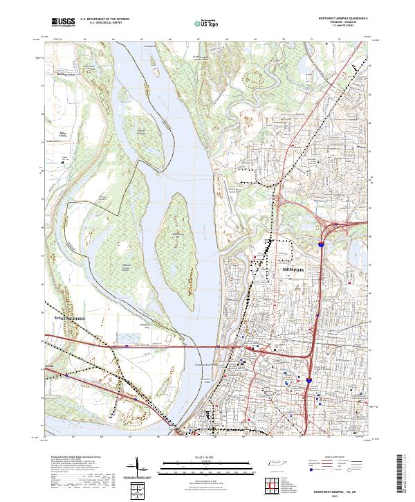
2022 Northwest Memphis
Shelby County, TN
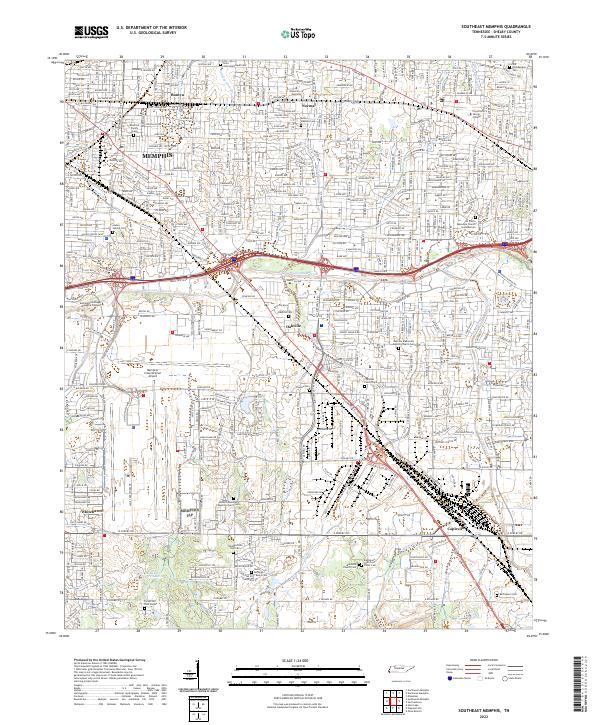
2022 Southeast Memphis
Shelby County, TN
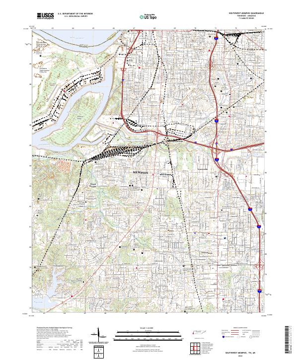
2022 Southwest Memphis
Shelby County, TN