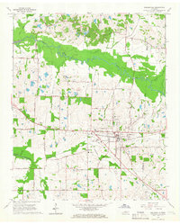
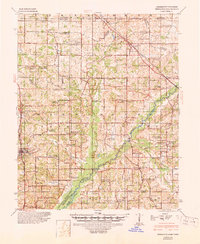
1965 Map of Collierville
USGS Topo · Published 1966About this map
The town of Collierville sits as a primary hub of development in southeastern Shelby County during the mid-1960s, bisected by the Southern RR railroad line. The surrounding landscape is a mix of agricultural plots and bottomlands, defined by the winding course of the Wolf River to the north and Nonconnah Creek to the south. This era shows the community's established social fabric through several country churches and burial grounds, including St James Ch and the Magnolia Cem.
Find a feature on this map
55 named features on this map. Tap any name to fly to it.
Don’t see what you’re looking for? This feature index may not catch every label — zoom into the map to look around manually.
Map Details
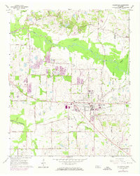
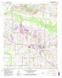
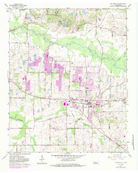
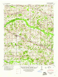
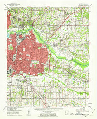
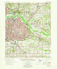
Editions of this 1965 Collierville Map
4 editions found
Other maps of this area

1943 · Collierville
USGS Topo · 1:62,500
1944 · Hernando
USGS Topo · 1:62,500
1948 · Byhalia
USGS Topo · 1:62,500

1953 · Collierville
USGS Topo · 1:50,000

1956 · Blytheville
USGS Topo · 1:250,000

1956 · Tupelo
USGS Topo · 1:250,000

1958 · Tupelo
USGS Topo · 1:250,000

1959 · Blytheville
USGS Topo · 1:250,000
1960 · Bartlett
USGS Topo · 1:62,500
1961 · Bartlett
USGS Topo · 1:62,500