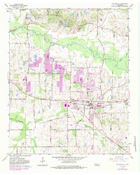
1965 Map of Collierville
USGS Topo · Published 1984About this map
The Southern Railway corridor serves as the industrial and social backbone for this Tennessee landscape, linking the growing community of Collierville to outlying points like Bailey and Piperton. Recorded in the mid-1960s with later updates, the map captures a period of transition as suburban expansion begins to reach eastward from Germantown. The terrain is defined by the winding course of the Wolf River and its tributaries, including Johnsons Creek and Marys Creek, which are surrounded by numerous active Gravel Pits and a network of rural routes such as Raleigh La Grange Road.
Find a feature on this map
63 named features on this map. Tap any name to fly to it.
Don’t see what you’re looking for? This feature index may not catch every label — zoom into the map to look around manually.
Map Details
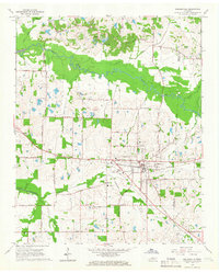
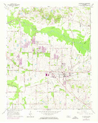
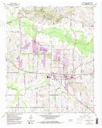
Editions of this 1965 Collierville Map
4 editions found
Other maps of this area

1943 · Collierville
USGS Topo · 1:62,500

1944 · Hernando
USGS Topo · 1:62,500

1948 · Byhalia
USGS Topo · 1:62,500

1953 · Collierville
USGS Topo · 1:50,000

1956 · Blytheville
USGS Topo · 1:250,000

1956 · Tupelo
USGS Topo · 1:250,000

1958 · Tupelo
USGS Topo · 1:250,000

1959 · Blytheville
USGS Topo · 1:250,000

1960 · Bartlett
USGS Topo · 1:62,500

1961 · Bartlett
USGS Topo · 1:62,500