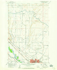
1958 Map of Ellensburg North
USGS Topo · Published 1960About this map
The Kittitas Valley is defined by a complex network of irrigation and transportation in the late 1950s, anchored by the northern expansion of Ellensburg. This survey captures the town when the Central Washington College of Education was a prominent fixture of the local landscape and the Chicago Milwaukee St Paul and Pacific railroad bisected the valley floor. Agriculture and infrastructure are deeply intertwined here, as evidenced by the numerous waterways like the North Branch Canal, Cascade Canal, and Town Canal that divert water toward the fields surrounding the Yakima River. Small rural centers such as Woldale and its namesake Woldale School sit alongside family landmarks and early aviation infrastructure like the Ellensburg Municipal Airport and its Airway Beacon. The map also preserves the locations of local heritage sites including Holy Cross Cemetery and the IOOF Cem.
Find a feature on this map
60 named features on this map. Tap any name to fly to it.
Don’t see what you’re looking for? This feature index may not catch every label — zoom into the map to look around manually.
Map Details
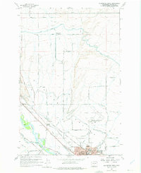
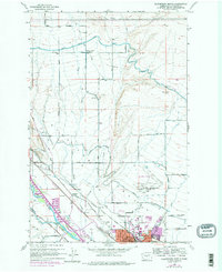
Editions of this 1958 Ellensburg North Map
Other maps of this area

1897 · Mount Stuart
USGS Topo · 1:125,000

1899 · Ellensburg
USGS Topo · 1:125,000

1901 · Ellensburg
USGS Topo · 1:125,000

1902 · Mount Stuart
USGS Topo · 1:125,000

1920 · Colockum Pass
USGS Topo · 1:125,000

1922 · Colockum Pass
USGS Topo · 1:125,000

1938 · Badger Pocket
USGS Topo · 1:48,000

1943 · Badger Pocket
USGS Topo · 1:62,500

1950 · Yakima
USGS Topo · 1:250,000

1953 · Kittitas
USGS Topo · 1:24,000