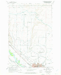
1958 Map of Ellensburg North
USGS Topo · Published 1975About this map
Kittitas Valley agriculture and the northward expansion of Ellensburg define this mid-century landscape, where a complex network of irrigation channels like the Cascade Canal and Town Canal transformed the arid terrain. The northern outskirts of the city are anchored by the Central Washington College of Education, while the surrounding rural area is dotted with local landmarks like the Woldale School and Reecer Creek School.
Find a feature on this map
50 named features on this map. Tap any name to fly to it.
Don’t see what you’re looking for? This feature index may not catch every label — zoom into the map to look around manually.
Map Details
Editions of this 1958 Ellensburg North Map
Other maps of this area

1897 · Mount Stuart
USGS Topo · 1:125,000

1899 · Ellensburg
USGS Topo · 1:125,000

1901 · Ellensburg
USGS Topo · 1:125,000

1902 · Mount Stuart
USGS Topo · 1:125,000

1920 · Colockum Pass
USGS Topo · 1:125,000

1922 · Colockum Pass
USGS Topo · 1:125,000

1938 · Badger Pocket
USGS Topo · 1:48,000

1943 · Badger Pocket
USGS Topo · 1:62,500

1950 · Yakima
USGS Topo · 1:250,000

1953 · Kittitas
USGS Topo · 1:24,000