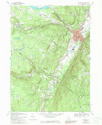
1969 Map of Ellenville
USGS Topo · Published 1989About this map
The Shawangunk Mountains dominate the eastern landscape of this 1969 New York survey, creating a dramatic corridor for the Sandburg Creek and Homowack Creek. The village of Ellenville serves as the regional anchor, showing a mid-century layout with the Ellenville Central Sch, Municipal Bldg, and numerous streets like Berme Road and Siegel Blvd. A significant historical remnant is the Hudson and Delaware Canal, which runs parallel to the modern roadway through Spring Glen and south toward Phillipsport.
Find a feature on this map
77 named features on this map. Tap any name to fly to it.
Don’t see what you’re looking for? This feature index may not catch every label — zoom into the map to look around manually.
Map Details
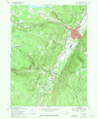
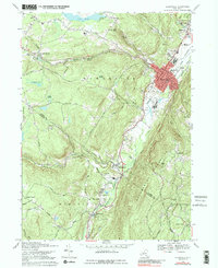
Editions of this 1969 Ellenville Map
3 editions found
Other maps of this area

1903 · Slide Mountain
USGS Topo · 1:62,500

1904 · Ellenville
USGS Topo · 1:62,500

1905 · Slide Mountain
USGS Topo · 1:62,500

1906 · Ellenville
USGS Topo · 1:62,500

1909 · Monticello
USGS Topo · 1:62,500

1910 · Neversink
USGS Topo · 1:62,500

1911 · Monticello
USGS Topo · 1:62,500

1942 · Neversink
USGS Topo · 1:62,500

1942 · Lackawack
USGS Topo · 1:24,000

1942 · Kerhonkson
USGS Topo · 1:24,000