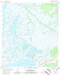
1970 Map of Ellerslie
USGS Topo · Published 1983About this map
West Cote Blanche Bay and East Cote Blanche Bay define this coastal Louisiana landscape, where the tides meet a complex network of industrial and natural waterways. The engineering of the Intracoastal Waterway and various shipping channels like the Franklin Canal and Williams Storage Canal illustrates the mid-century effort to navigate and drain the marshlands. In the southeastern corner, the settlement of Ellerslie and the South Bend area provide evidence of local habitation near the Bayou Sale oil and gas developments. The map reveals an environment transitioning from wild coastal bayous, such as Wild Buck Bayou and Mascot Bayou, to a managed landscape of Oil and Gas Fields and water control structures like the Pumping Station. This 1970s record captures the intricate hydrology of the region before significant coastal erosion and further petrochemical expansion altered the shoreline.
Find a feature on this map
35 named features on this map. Tap any name to fly to it.
Don’t see what you’re looking for? This feature index may not catch every label — zoom into the map to look around manually.
Map Details
Editions of this 1970 Ellerslie Map
4 editions found
Other maps of this area

1935 · Belle Isle
USGS Topo · 1:31,680

1937 · Bayou Sale
USGS Topo · 1:62,500

1937 · Jeanerette
USGS Topo · 1:62,500

1941 · Belle Isle
USGS Topo · 1:62,500

1945 · New Orleans
USGS Topo · 1:250,000

1948 · Foster
USGS Topo · 1:62,500
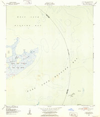
1951 · Lake Point
USGS Topo · 1:24,000

1954 · Jeanerette
USGS Topo · 1:62,500

1954 · Belle Isle
USGS Topo · 1:62,500

1957 · Bayou Sale
USGS Topo · 1:62,500