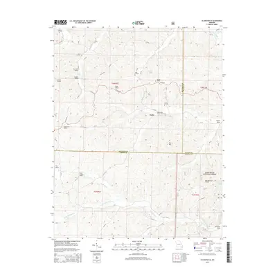
2015 Map of Ellington SE
USGS Topo · Published 2015About this map
Hadley sits near the center of this Ozark landscape where the terrain is defined by a dense network of hollows and valleys. The settlement of Webb Valley lies further north along Co Road 576, reflecting the historical importance of these lowlands for travel and habitation. This area is characterized by family-named landmarks and ancestral sites, including Copeland Cemetery, Potter Cemetery, Webb Cemetery, and Alwood Cemetery, which provide valuable touchpoints for genealogical research.
Find a feature on this map
76 named features on this map. Tap any name to fly to it.
Don’t see what you’re looking for? This feature index may not catch every label — zoom into the map to look around manually.
Map Details
Editions of this 2015 Ellington SE Map
This is the sole edition of this map. No revisions or reprints were ever made.
Other maps of this area

1932 · Piedmont
USGS Topo · 1:62,500

1934 · Williamsville
USGS Topo · 1:48,000

1935 · Piedmont
USGS Topo · 1:62,500

1940 · Williamsville
USGS Topo · 1:62,500

1943 · Ellington
USGS Topo · 1:62,500

1944 · Grandin
USGS Topo · 1:62,500

1945 · Ellington
USGS Topo · 1:62,500

1946 · Grandin
USGS Topo · 1:62,500

1949 · Rolla
USGS Topo · 1:250,000

1953 · Rolla
USGS Topo · 1:250,000