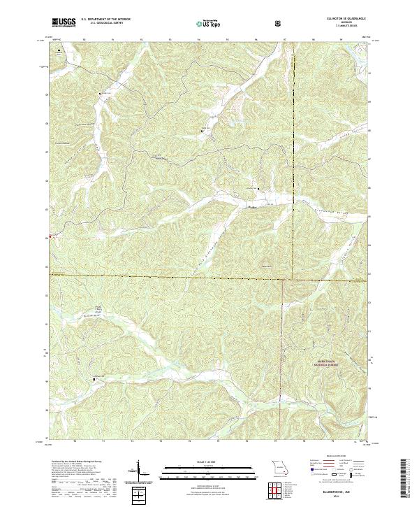
2021 Map of Ellington SE
USGS Topo · Published 2021About this map
Mark Twain National Forest dominates this landscape, where the borders of Reynolds, Wayne, and Carter counties converge in a network of steep hollows and narrow valleys. Family history is etched into the terrain through numerous burial grounds, including Copeland Cem in the northwest and Gresham Cem near the southern boundary. These small cemeteries, along with named valleys like Webb Valley and Kelow Valley, suggest a lineage of rural settlement that persisted long after the primary timber booms of the Ozarks.
Find a feature on this map
57 named features on this map. Tap any name to fly to it.
Don’t see what you’re looking for? This feature index may not catch every label — zoom into the map to look around manually.
Map Details
Editions of this 2021 Ellington SE Map
This is the sole edition of this map. No revisions or reprints were ever made.
Other maps of this area

1932 · Piedmont
USGS Topo · 1:62,500

1934 · Williamsville
USGS Topo · 1:48,000

1935 · Piedmont
USGS Topo · 1:62,500

1940 · Williamsville
USGS Topo · 1:62,500

1943 · Ellington
USGS Topo · 1:62,500

1944 · Grandin
USGS Topo · 1:62,500

1945 · Ellington
USGS Topo · 1:62,500

1946 · Grandin
USGS Topo · 1:62,500

1949 · Rolla
USGS Topo · 1:250,000

1953 · Rolla
USGS Topo · 1:250,000