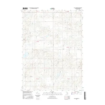
2017 Map of Ellis Corners
USGS Topo · Published 2017About this map
Newton Township Cem and Houston Cem anchor the northern reaches of this rural landscape, reflecting the long-established burial grounds of the region's early families. The terrain is defined by a dense network of glacial water features and drainage systems, including the substantial Nottawa Cr and the Yost Francisco Drain, which together manage the moisture of the low-lying wetlands. The small settlement of Ellis Corners serves as a local navigational hub where several section roads converge.
Find a feature on this map
55 named features on this map. Tap any name to fly to it.
Don’t see what you’re looking for? This feature index may not catch every label — zoom into the map to look around manually.
Map Details
Editions of this 2017 Ellis Corners Map
This is the sole edition of this map. No revisions or reprints were ever made.
Other maps of this area

1918 · Battle Creek
USGS Topo · 1:62,500

1918 · Union City
USGS Topo · 1:62,500

1921 · Marshall
USGS Topo · 1:62,500

1923 · Marshall
USGS Topo · 1:62,500

1943 · Battle Creek
USGS Topo · 1:62,500

1943 · Marshall
USGS Topo · 1:62,500

1947 · Ceresco
USGS Topo · 1:24,000

1947 · Battle Creek
USGS Topo · 1:24,000

1947 · Union City
USGS Topo · 1:62,500

1948 · Homer
USGS Topo · 1:62,500
Featured Places
- Burlington Township, MI
- Emmett Charter Township, MI
- Tekonsha Township, MI
- Newton Township, MI
- Marshall Township, MI