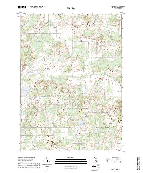
2023 Map of Ellis Corners
USGS Topo · Published 2023About this map
Nottawa Creek and Alder Creek wind through this part of Calhoun County, defining a landscape marked by glacial kettles and extensive wetlands. The rural character of the area is anchored by several long-standing burial grounds, including the Newton Township Cem in the west and the Lutheran Cem further east. The map reveals a highly structured grid of section lines and range divisions, such as t3s r7w and t2s r6w, which dictate the local road network of numbered miles and lettered drives like 12 Mile Rd and B Dr S.
Find a feature on this map
54 named features on this map. Tap any name to fly to it.
Don’t see what you’re looking for? This feature index may not catch every label — zoom into the map to look around manually.
Map Details
Editions of this 2023 Ellis Corners Map
This is the sole edition of this map. No revisions or reprints were ever made.
Other maps of this area

1918 · Battle Creek
USGS Topo · 1:62,500

1918 · Union City
USGS Topo · 1:62,500

1921 · Marshall
USGS Topo · 1:62,500

1923 · Marshall
USGS Topo · 1:62,500

1943 · Battle Creek
USGS Topo · 1:62,500

1943 · Marshall
USGS Topo · 1:62,500

1947 · Ceresco
USGS Topo · 1:24,000

1947 · Battle Creek
USGS Topo · 1:24,000

1947 · Union City
USGS Topo · 1:62,500

1948 · Homer
USGS Topo · 1:62,500
Featured Places
- Burlington Township, MI
- Emmett Charter Township, MI
- Fredonia Township, MI
- Marshall Township, MI
- Tekonsha Township, MI