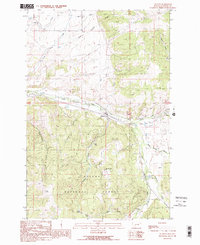
1989 Map of Elliston
USGS Topo · Published 1989About this map
Elliston serves as the central hub of this late-twentieth-century landscape, situated where the Little Blackfoot River meets Dog Creek. The topography is defined by the high elevations of the Helena National Forest, where resource extraction and recreation coexist. Notable mining activity is evident at the Carbonate King Mine, while the presence of Camp Child and local lakes like Lilly Lake and Slate Lake suggest a long-standing use of the area for seasonal residency and outdoor pursuits.
Find a feature on this map
28 named features on this map. Tap any name to fly to it.
Don’t see what you’re looking for? This feature index may not catch every label — zoom into the map to look around manually.
Map Details
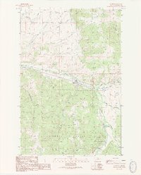
Editions of this 1989 Elliston Map
2 editions found
Other maps of this area

1889 · Helena
USGS Topo · 1:250,000

1893 · Helena
USGS Topo · 1:250,000

1899 · Boulder
USGS Topo · 1:125,000

1899 · Helena
USGS Topo · 1:250,000

1903 · Helena
USGS Topo · 1:250,000

1947 · Butte
USGS Topo · 1:250,000

1954 · Basin
USGS Topo · 1:62,500

1958 · Butte
USGS Topo · 1:250,000

1958 · Avon
USGS Topo · 1:62,500

1959 · Deer Lodge
USGS Topo · 1:62,500