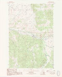
1989 Map of Elliston
USGS Topo · Published 1989About this map
Elliston serves as the central hub of this late-1980s landscape, situated where Dog Creek joins the Little Blackfoot River. The area's industrial character is defined by a history of extraction, evidenced by the Carbonate King Mine and numerous Prospects and a Mine Shaft scattered throughout the drainage basins. Within the Helena National Forest, the terrain is carved by named drainages like Logan Gulch and Sawmill Gulch, while recreational or organizational outposts such as Camp Child, Sunshine Camp, and a Trailer Park indicate the varied use of the river valley. The presence of a small Cem near the river and family-named landmarks like Lilly Lake provides valuable touchpoints for genealogists and local historians tracking the early settlers and miners who worked the Gold Gulch and surrounding canyons.
Find a feature on this map
36 named features on this map. Tap any name to fly to it.
Don’t see what you’re looking for? This feature index may not catch every label — zoom into the map to look around manually.
Map Details
Editions of this 1989 Elliston Map
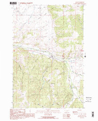
2 editions found
Other maps of this area

1889 · Helena
USGS Topo · 1:250,000

1893 · Helena
USGS Topo · 1:250,000

1899 · Boulder
USGS Topo · 1:125,000

1899 · Helena
USGS Topo · 1:250,000

1903 · Helena
USGS Topo · 1:250,000

1947 · Butte
USGS Topo · 1:250,000

1954 · Basin
USGS Topo · 1:62,500

1958 · Butte
USGS Topo · 1:250,000

1958 · Avon
USGS Topo · 1:62,500

1959 · Deer Lodge
USGS Topo · 1:62,500