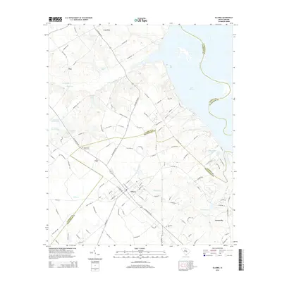
2014 Map of Elloree
USGS Topo · Published 2014About this map
Elloree serves as the central hub for this region of South Carolina, where the CSX rail line intersects the local grid of streets like W Hampton St and Railroad Ave. The landscape transitions from the agricultural and residential outskirts of Lone Star and Tina in the northwest down toward the expansive waters of Lake Marion and the Santee River along the eastern edge. Local genealogy is well-represented through several burial grounds, including the Santee First Baptist Cem, Bookhart Cem, and Jerusalem Cem.
Find a feature on this map
103 named features on this map. Tap any name to fly to it.
Don’t see what you’re looking for? This feature index may not catch every label — zoom into the map to look around manually.
Map Details
Editions of this 2014 Elloree Map
This is the sole edition of this map. No revisions or reprints were ever made.
Other maps of this area
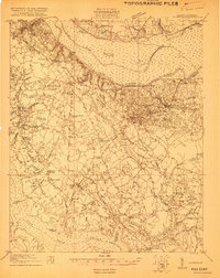
1920 · Eutawville
USGS Topo · 1:48,000
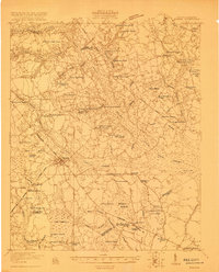
1920 · Bowman
USGS Topo · 1:48,000
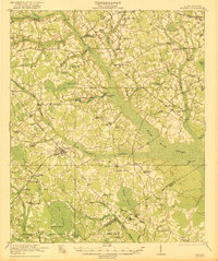
1921 · Bowman
USGS Topo · 1:62,500
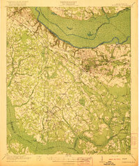
1921 · Eutawville
USGS Topo · 1:62,500
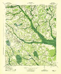
1943 · Bowman
USGS Topo · 1:62,500
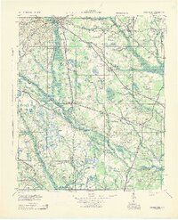
1943 · Orangeburg
USGS Topo · 1:125,000
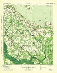
1943 · Eutawville
USGS Topo · 1:62,500
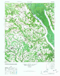
1946 · Elloree
USGS Topo · 1:62,500
1954 · Augusta
USGS Topo · 1:250,000
1957 · Augusta
USGS Topo · 1:250,000