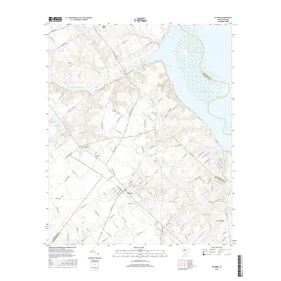
2017 Map of Elloree
USGS Topo · Published 2017About this map
Elloree serves as the central hub of this South Carolina landscape, where a grid of streets intersects near the headwaters of Big Poplar Cr. To the north and east, the vast expanse of Lake Marion dominates the shoreline, while the terrain is marked by numerous family-named landmarks and water bodies like Huttos Lake and Campbell Pond. The settlement patterns here reflect a long-standing agricultural and community heritage, evidenced by the distribution of several burial grounds including Santee First Baptist Cem, Bookhart Cem, and Jerusalem Cem.
Find a feature on this map
123 named features on this map. Tap any name to fly to it.
Don’t see what you’re looking for? This feature index may not catch every label — zoom into the map to look around manually.
Map Details
Editions of this 2017 Elloree Map
This is the sole edition of this map. No revisions or reprints were ever made.
Other maps of this area
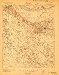
1920 · Eutawville
USGS Topo · 1:48,000
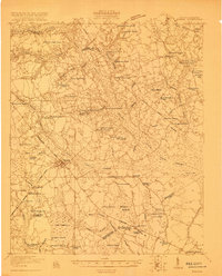
1920 · Bowman
USGS Topo · 1:48,000
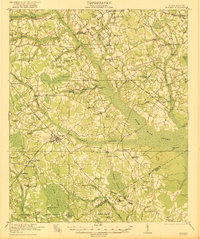
1921 · Bowman
USGS Topo · 1:62,500
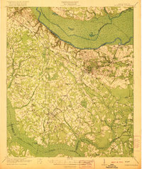
1921 · Eutawville
USGS Topo · 1:62,500
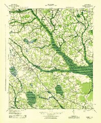
1943 · Bowman
USGS Topo · 1:62,500
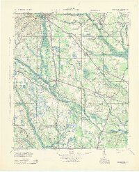
1943 · Orangeburg
USGS Topo · 1:125,000
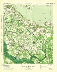
1943 · Eutawville
USGS Topo · 1:62,500
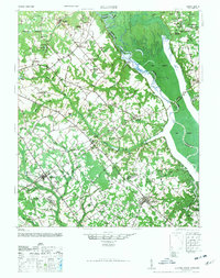
1946 · Elloree
USGS Topo · 1:62,500
1954 · Augusta
USGS Topo · 1:250,000
1957 · Augusta
USGS Topo · 1:250,000