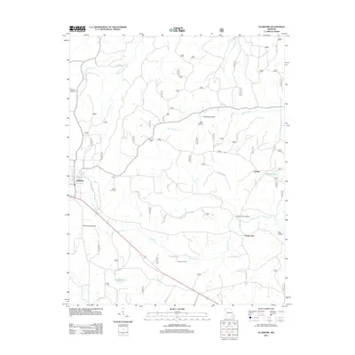
2011 Map of Ellsinore
USGS Topo · Published 2011About this map
Ellsinore and the surrounding Ozark landscape are documented in this 2011 survey, showing a network of small settlements and forest roads in Carter County. The area is defined by its numerous hollows, including Seed Tick Hollow and North Fork Hollow, which drain into systems like Brushy Creek and Cane Creek. For those tracing local families, the map records several distinct burial grounds such as Robertson Cemetery, Hill Top Cemetery, and Kearney Cemetery.
Find a feature on this map
42 named features on this map. Tap any name to fly to it.
Don’t see what you’re looking for? This feature index may not catch every label — zoom into the map to look around manually.
Map Details
Editions of this 2011 Ellsinore Map
This is the sole edition of this map. No revisions or reprints were ever made.
Other maps of this area

1932 · Piedmont
USGS Topo · 1:62,500

1934 · Williamsville
USGS Topo · 1:48,000

1935 · Piedmont
USGS Topo · 1:62,500

1940 · Williamsville
USGS Topo · 1:62,500

1943 · Ellington
USGS Topo · 1:62,500

1944 · Grandin
USGS Topo · 1:62,500

1945 · Ellington
USGS Topo · 1:62,500

1946 · Grandin
USGS Topo · 1:62,500

1949 · Rolla
USGS Topo · 1:250,000

1953 · Rolla
USGS Topo · 1:250,000