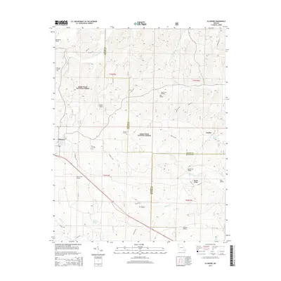
2015 Map of Ellsinore
USGS Topo · Published 2015About this map
Ellsinore anchors this corner of the Ozark Foothills where the borders of Carter, Wayne, and Butler Counties converge. The landscape is defined by the heavy timber of the Mark Twain National Forest, intersected by a network of drainage systems including Cane Creek and Brushy Cr. Smaller settlements and gathering points like Upalika and Brush Arbor are scattered throughout the hills, connected by forest roads and rural routes such as State Hwy A.
Find a feature on this map
49 named features on this map. Tap any name to fly to it.
Don’t see what you’re looking for? This feature index may not catch every label — zoom into the map to look around manually.
Map Details
Editions of this 2015 Ellsinore Map
This is the sole edition of this map. No revisions or reprints were ever made.
Other maps of this area

1932 · Piedmont
USGS Topo · 1:62,500

1934 · Williamsville
USGS Topo · 1:48,000

1935 · Piedmont
USGS Topo · 1:62,500

1940 · Williamsville
USGS Topo · 1:62,500

1943 · Ellington
USGS Topo · 1:62,500

1944 · Grandin
USGS Topo · 1:62,500

1945 · Ellington
USGS Topo · 1:62,500

1946 · Grandin
USGS Topo · 1:62,500

1949 · Rolla
USGS Topo · 1:250,000

1953 · Rolla
USGS Topo · 1:250,000