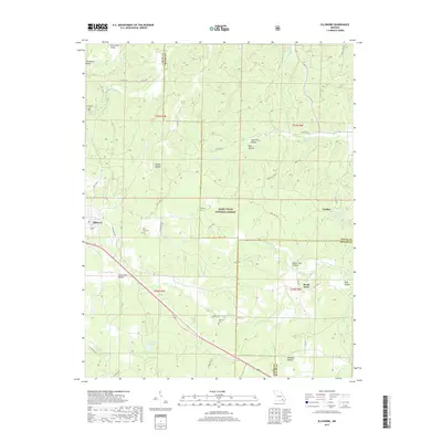
2017 Map of Ellsinore
USGS Topo · Published 2017About this map
Ellsinore anchors the western edge of this Ozark survey, where the settlement meets the dense woodlands of the Mark Twain National Forest. The landscape is defined by its deep hollows and winding creek beds, including Middle Brushy Cr and the waters of Cane Creek. For genealogists and local historians, several small burial grounds are preserved across the terrain, such as Hill Top Cem near the town center and the more secluded Harmony Cem to the east. The map illustrates a rural transport network of county roads and forest routes connecting smaller communities like Upalika and Brush Arbor. Notable water features such as Condrays Lake and Upalika Pond dot the drainage basins, highlighting the importance of localized water sources in this heavily forested region of Carter and Wayne counties.
Find a feature on this map
51 named features on this map. Tap any name to fly to it.
Don’t see what you’re looking for? This feature index may not catch every label — zoom into the map to look around manually.
Map Details
Editions of this 2017 Ellsinore Map
This is the sole edition of this map. No revisions or reprints were ever made.
Other maps of this area
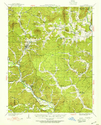
1932 · Piedmont
USGS Topo · 1:62,500
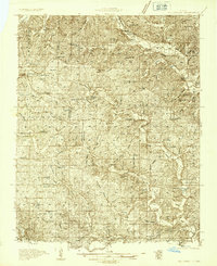
1934 · Williamsville
USGS Topo · 1:48,000
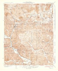
1935 · Piedmont
USGS Topo · 1:62,500
1940 · Williamsville
USGS Topo · 1:62,500
1943 · Ellington
USGS Topo · 1:62,500
1944 · Grandin
USGS Topo · 1:62,500
1945 · Ellington
USGS Topo · 1:62,500
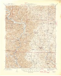
1946 · Grandin
USGS Topo · 1:62,500

1949 · Rolla
USGS Topo · 1:250,000
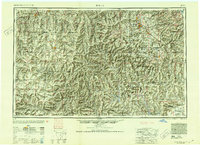
1953 · Rolla
USGS Topo · 1:250,000