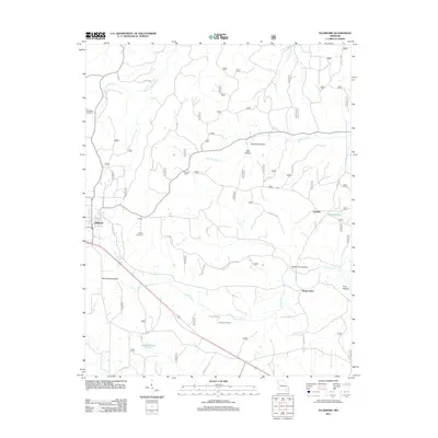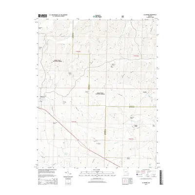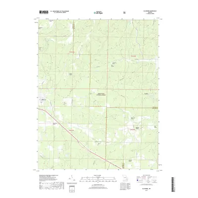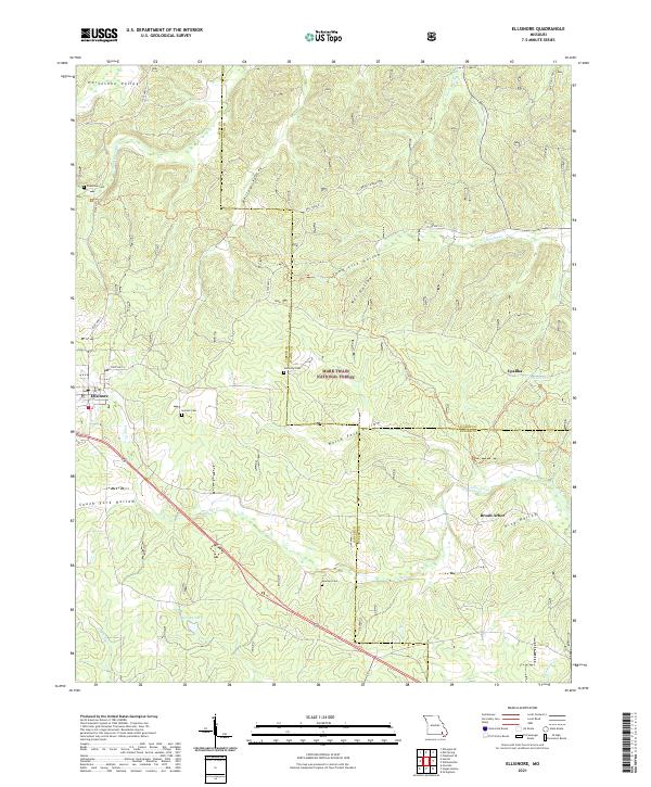
1980 Map of Ellsinore
USGS Topo · Published 1980About this map
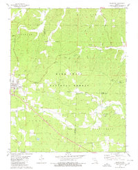
The town of Ellsinore sits at the southwestern edge of this 1980 survey, where the rolling hills of the Mark Twain National Forest define the landscape. This area, spanning the borders of Carter and Wayne counties, showcases a rural Missouri geography of winding hollows and seasonal creek beds. Local landmarks such as Hill Top Cem, Kearney Cem, and Robertson Cem provide critical points of interest for those tracing family history in these rural townships. The settlement pattern is largely concentrated around the town itself and along the corridor of the St. Louis-San Francisco Railway, while the surrounding timberland is marked by isolated features like Upalika Pond Picnic Area and numerous country churches, including Harmony Ch and Walker Chapel.
Find a feature on this map
1 named feature on this map. Tap any name to fly to it.
Don’t see what you’re looking for? This feature index may not catch every label — zoom into the map to look around manually.
Map Details
Editions of this 1980 Ellsinore Map
This is the sole edition of this map. No revisions or reprints were ever made.
Historical Maps of Ellsinore Through Time
5 maps found