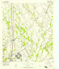
1957 Map of Elm Mott
USGS Topo · Published 1958About this map
James Connally Air Force Base dominates the southern landscape of this mid-century survey, its expansive airfield and support facilities such as the Filtration Plant sitting just north of the growing communities of Lacy-Lakeview and Elm Mott. The area is a hub of transportation, defined by the convergence of the Missouri Pacific and Missouri Kansas Texas railroads alongside the Blue Star Memorial Highway.
Find a feature on this map
29 named features on this map. Tap any name to fly to it.
Don’t see what you’re looking for? This feature index may not catch every label — zoom into the map to look around manually.
Map Details
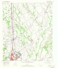
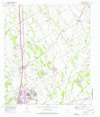
Editions of this 1957 Elm Mott Map
3 editions found
Other maps of this area

1892 · Waco
USGS Topo · 1:125,000

1920 · Waco
USGS Topo · 1:125,000

1920 · Mart
USGS Topo · 1:62,500

1924 · Waco 4-c
USGS Topo · 1:48,000

1931 · Elm Mott
USGS Topo · 1:62,500

1954 · Waco
USGS Topo · 1:250,000

1955 · Waco
USGS Topo · 1:250,000

1956 · Penelope
USGS Topo · 1:24,000

1956 · Axtell
USGS Topo · 1:24,000

1956 · West
USGS Topo · 1:24,000