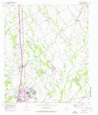
1957 Map of Elm Mott
USGS Topo · Published 1977About this map
The Missouri Kansas Texas railroad corridor anchors this McLennan County landscape, running north-south through the village of Ross and the community of Elm Mott. This mid-century survey reveals the area's transition toward industrial and aviation growth, most notably marked by the sprawling James Connally Airport and the neighboring settlement of James Connally. Purple revisions from the 1970s illustrate the expansion of Lacy-Lakeview and new industrial installations like the Filtration Plant and Sewage Disposal.
Find a feature on this map
29 named features on this map. Tap any name to fly to it.
Don’t see what you’re looking for? This feature index may not catch every label — zoom into the map to look around manually.
Map Details
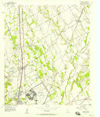
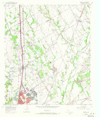
Editions of this 1957 Elm Mott Map
3 editions found
Other maps of this area

1892 · Waco
USGS Topo · 1:125,000

1920 · Waco
USGS Topo · 1:125,000

1920 · Mart
USGS Topo · 1:62,500

1924 · Waco 4-c
USGS Topo · 1:48,000

1931 · Elm Mott
USGS Topo · 1:62,500

1954 · Waco
USGS Topo · 1:250,000

1955 · Waco
USGS Topo · 1:250,000

1956 · Penelope
USGS Topo · 1:24,000

1956 · Axtell
USGS Topo · 1:24,000

1956 · West
USGS Topo · 1:24,000