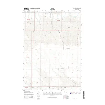
2015 Map of Elm Springs
USGS Topo · Published 2015About this map
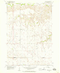
The Belle Fourche River winds through the northern reaches of this Meade County landscape, defining a terrain etched by numerous drainage features such as Trussman Draw and Huddleston Draw. The small community of Elm Springs serves as the central point of reference, situated at the junction of Elm Springs Rd and Dalzell Rd. This western South Dakota rangeland is characterized by its complex network of named draws and coulees, including Maddox Draw and Turner Draw, which illustrate the erosion patterns typical of the region's drainage basins. In the southern portion of the map, the landscape transitions toward Elk Cr, supported by further landmarks like Adams Draw and Pierce Draw. The map meticulously records the rural road network, from Brustel Rd to Smithville Rd, providing a detailed look at the connectivity between these isolated homesteads and pastures.
Find a feature on this map
27 named features on this map. Tap any name to fly to it.
Don’t see what you’re looking for? This feature index may not catch every label — zoom into the map to look around manually.
Map Details
Editions of this 2015 Elm Springs Map
This is the sole edition of this map. No revisions or reprints were ever made.
Other maps of this area

1953 · Rapid City
USGS Topo · 1:250,000
1954 · Dalzell NW
USGS Topo · 1:24,000
1954 · Elm Springs SW
USGS Topo · 1:24,000
1954 · Dalzell
USGS Topo · 1:24,000
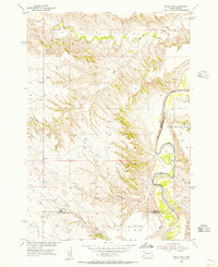
1954 · Wasta NW
USGS Topo · 1:24,000
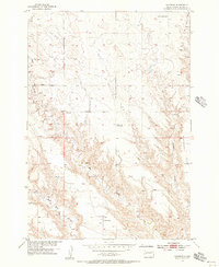
1954 · Haydraw
USGS Topo · 1:24,000
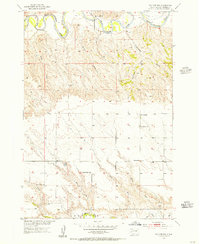
1954 · Elm Springs
USGS Topo · 1:24,000
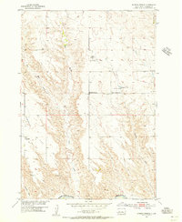
1954 · Boneita Springs
USGS Topo · 1:24,000

1957 · Rapid City
USGS Topo · 1:250,000
1957 · Owanka NE
USGS Topo · 1:24,000