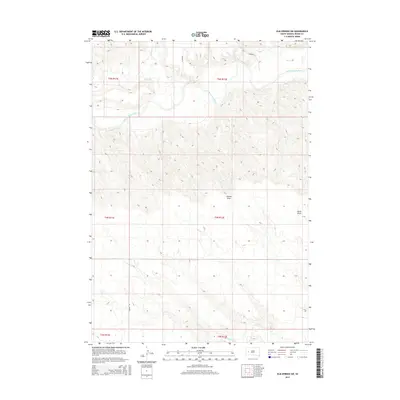
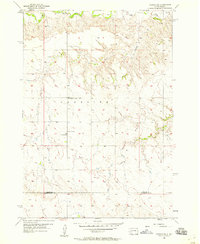
2015 Map of Elm Springs SW
USGS Topo · Published 2015About this map
The Belle Fourche River winds across the northern landscape of this Meade County survey, creating a fertile break in the high plains terrain. The river is fed by smaller tributaries including Elm Cr and Hay Cr, while the southern reaches are defined by the passage of Elk Cr. This area is characterized by dramatic topographic shifts, most notably at Adams Draw and Davis Draw, where the land falls away from the upper plateaus toward the river valley. While largely rural and open, the map records the network of section lines and local transit routes such as Curlew Rd, Oxbow Pl, and Oxford Pl, reflecting the sparse but structured settlement pattern of the South Dakota prairie in the early 21st century.
Find a feature on this map
15 named features on this map. Tap any name to fly to it.
Don’t see what you’re looking for? This feature index may not catch every label — zoom into the map to look around manually.
Map Details
Editions of this 2015 Elm Springs SW Map
This is the sole edition of this map. No revisions or reprints were ever made.
Other maps of this area
1953 · Viewfield
USGS Topo · 1:24,000
1953 · Hereford SE
USGS Topo · 1:24,000
1953 · Hereford NE
USGS Topo · 1:24,000

1953 · Rapid City
USGS Topo · 1:250,000
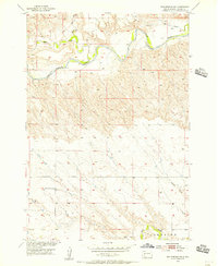
1954 · Elm Springs SW
USGS Topo · 1:24,000
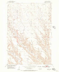
1954 · Haydraw
USGS Topo · 1:24,000
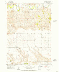
1954 · Elm Springs
USGS Topo · 1:24,000
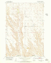
1954 · Boneita Springs
USGS Topo · 1:24,000

1957 · Rapid City
USGS Topo · 1:250,000
1957 · Owanka NE
USGS Topo · 1:24,000