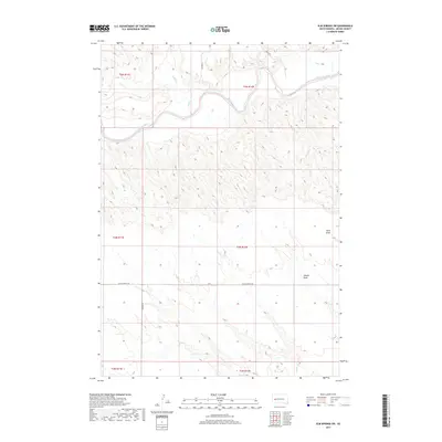
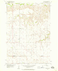
2017 Map of Elm Springs SW
USGS Topo · Published 2017About this map
The Belle Fourche River meanders across the northern portion of this Meade County landscape, defining the local drainage patterns as it flows eastward. This region is characterized by a network of seasonal watercourses and prominent depressions, including Davis Draw and Adams Draw, which reveal the erosional history of the prairie. Smaller tributaries such as Elm Cr, E Elm Cr, and Hay Cr feed into the larger river system, while Elk Cr touches the southern reaches of the quadrangle. Human imprint on the land follows the Public Land Survey System grid, with sparse rural infrastructure represented by W Elm Springs Rd, Curlew Rd, and Oxford PL. The map illustrates a transitional terrain where the plains are etched by significant draws and river bends, maintaining the traditional section lines of the American West.
Find a feature on this map
17 named features on this map. Tap any name to fly to it.
Don’t see what you’re looking for? This feature index may not catch every label — zoom into the map to look around manually.
Map Details
Editions of this 2017 Elm Springs SW Map
This is the sole edition of this map. No revisions or reprints were ever made.
Other maps of this area
1953 · Viewfield
USGS Topo · 1:24,000
1953 · Hereford SE
USGS Topo · 1:24,000
1953 · Hereford NE
USGS Topo · 1:24,000

1953 · Rapid City
USGS Topo · 1:250,000
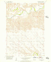
1954 · Elm Springs SW
USGS Topo · 1:24,000
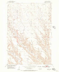
1954 · Haydraw
USGS Topo · 1:24,000
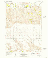
1954 · Elm Springs
USGS Topo · 1:24,000
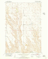
1954 · Boneita Springs
USGS Topo · 1:24,000

1957 · Rapid City
USGS Topo · 1:250,000
1957 · Owanka NE
USGS Topo · 1:24,000