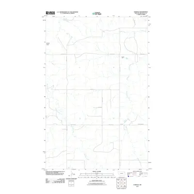
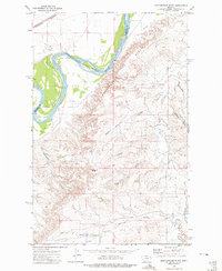
2011 Map of Elmdale
USGS Topo · Published 2011About this map
Elmdale serves as a central point in this part of Richland County, where the topography is defined by the winding drainage systems of the Great Plains. The landscape is carved by the northern flow of West Charlie Creek and Middle Charlie Creek, while Shack Creek cuts across the northern reaches of the quadrangle. These waterways, punctuated by small-scale water management features like Golden Dam and Tolksdorf Number 2 Dam, illustrate the critical importance of water conservation in eastern Montana's ranching and agricultural economy.
Find a feature on this map
14 named features on this map. Tap any name to fly to it.
Don’t see what you’re looking for? This feature index may not catch every label — zoom into the map to look around manually.
Map Details
Editions of this 2011 Elmdale Map
This is the sole edition of this map. No revisions or reprints were ever made.
Other maps of this area

1909 · Glendive
USGS Topo · 1:250,000
1914 · Brockton
USGS Topo · 1:62,500

1954 · Glendive
USGS Topo · 1:250,000

1954 · Wolf Point
USGS Topo · 1:250,000

1957 · Glendive
USGS Topo · 1:250,000

1958 · Wolf Point
USGS Topo · 1:250,000

1958 · Glendive
USGS Topo · 1:250,000
1969 · Twomile Creek
USGS Topo · 1:24,000
1972 · Frog Coulee
USGS Topo · 1:24,000
1972 · Mortarstone Bluff
USGS Topo · 1:24,000