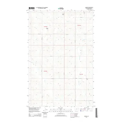
2014 Map of Elmdale
USGS Topo · Published 2014About this map
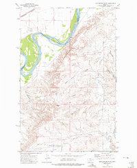
Elmdale and its surrounding agricultural lands are defined by a network of drainage systems including Middle Charlie Cr and W Charlie Cr. This 2014 topographic study illustrates a rural landscape where infrastructure is primarily concentrated along county routes such as Co Road 139 and Co Road 321, which follow the section lines of the Public Land Survey System. The presence of the Elmdale Cem provides a focal point for genealogical research in this sparsely populated area of Richland County. The terrain is marked by significant topographical variation, with deep-cut features like Hanson Coulee and Big Basin Coulee carving through the high plains. These natural features, alongside Shuck Cr, dictate the movement and settlement patterns within the townships of T26N R53E and T25N R54E.
Find a feature on this map
19 named features on this map. Tap any name to fly to it.
Don’t see what you’re looking for? This feature index may not catch every label — zoom into the map to look around manually.
Map Details
Editions of this 2014 Elmdale Map
This is the sole edition of this map. No revisions or reprints were ever made.
Other maps of this area

1909 · Glendive
USGS Topo · 1:250,000
1914 · Brockton
USGS Topo · 1:62,500

1954 · Glendive
USGS Topo · 1:250,000

1954 · Wolf Point
USGS Topo · 1:250,000

1957 · Glendive
USGS Topo · 1:250,000

1958 · Wolf Point
USGS Topo · 1:250,000

1958 · Glendive
USGS Topo · 1:250,000
1969 · Twomile Creek
USGS Topo · 1:24,000
1972 · Frog Coulee
USGS Topo · 1:24,000
1972 · Mortarstone Bluff
USGS Topo · 1:24,000