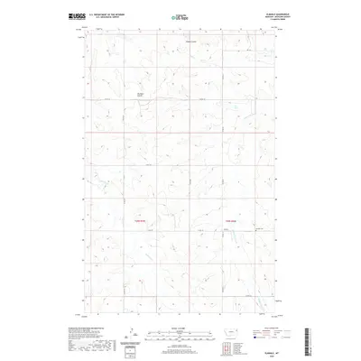
2020 Map of Elmdale
USGS Topo · Published 2020About this map
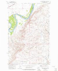
Elmdale and its surroundings in Richland County are defined by a network of drainage systems and high-plains terrain. The settlement itself is centered near the intersection of Co RD 321 and Co RD 139, serving as a focal point in a landscape marked by deep coulees and seasonal creeks. To the northeast, Hanson Coulee cuts through the elevation, while Big Basin Coulee dominates the central portion of the map, illustrating the erosional patterns typical of this Montana region. Local genealogy is anchored at the Elmdale Cem, which overlooks the winding path of Middle Charlie Cr. The map reveals a highly structured grid of section lines and county roads, such as Co RD 318 and Co RD 143, which provide access to the various forks of W Charlie Cr and Shack Cr, showing how ranching and agriculture have adapted to the area's natural topography.
Find a feature on this map
17 named features on this map. Tap any name to fly to it.
Don’t see what you’re looking for? This feature index may not catch every label — zoom into the map to look around manually.
Map Details
Editions of this 2020 Elmdale Map
This is the sole edition of this map. No revisions or reprints were ever made.
Other maps of this area

1909 · Glendive
USGS Topo · 1:250,000
1914 · Brockton
USGS Topo · 1:62,500

1954 · Glendive
USGS Topo · 1:250,000

1954 · Wolf Point
USGS Topo · 1:250,000

1957 · Glendive
USGS Topo · 1:250,000

1958 · Wolf Point
USGS Topo · 1:250,000

1958 · Glendive
USGS Topo · 1:250,000
1969 · Twomile Creek
USGS Topo · 1:24,000
1972 · Frog Coulee
USGS Topo · 1:24,000
1972 · Mortarstone Bluff
USGS Topo · 1:24,000