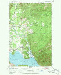
1951 Map of Elmira
USGS Topo · Published 1971About this map
Elmira and Samuels sit along the western edge of this landscape, where the Great Northern and Spokane International railroads parallel Sand Creek. The terrain is dominated by the steep slopes of the Kaniksu National Forest, including heights like Elmira Peak and Wylie Knob. Along the shores of Lake Pend Oreille, the map documents established settlements like Oden and Hope, alongside evidence of shifting demographics, such as the Oden Sch (Aban'd) and Center Valley Sch (Aban'd). The drainage system is intricate, with the Pack River and Trestle Creek flowing toward the lake, while higher elevations show several Mines and fire lookouts like Trout Pk Lookout. This document illustrates the post-war intersection of timber harvesting, small-scale mining, and the primary transportation corridors of Northern Idaho.
Find a feature on this map
49 named features on this map. Tap any name to fly to it.
Don’t see what you’re looking for? This feature index may not catch every label — zoom into the map to look around manually.
Map Details
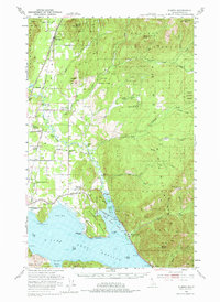
Editions of this 1951 Elmira Map
3 editions found
Other maps of this area

1901 · Sandpoint
USGS Topo · 1:125,000

1911 · Priest Lake
USGS Topo · 1:250,000

1911 · Sandpoint
USGS Topo · 1:125,000

1913 · Priest Lake
USGS Topo · 1:250,000

1949 · Packsaddle Mtn
USGS Topo · 1:62,500

1951 · Packsaddle Mtn
USGS Topo · 1:62,500

1951 · Clark Fork
USGS Topo · 1:62,500

1951 · Mt Pend Oreille
USGS Topo · 1:62,500

1951 · Elmira
USGS Topo · 1:62,500

1958 · Sandpoint
USGS Topo · 1:250,000