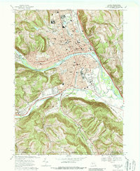
1950 Map of Elmira
USGS Topo · Published 1951About this map
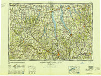
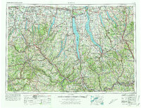
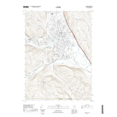
Seneca Lake and Cayuga Lake dominate this mid-century look at the Finger Lakes region, a landscape defined by its deep glacial troughs and the industrial arteries of the Barge Canal and Erie Canal. The map captures the post-war expansion of major educational centers like Cornell University in Ithaca and Syracuse University, alongside the military presence at Sampson Air Force Base on the eastern shore of Seneca Lake. A dense web of rail lines, including the Lehigh Valley RR and Erie RR, crisscross the terrain to connect hubs like Elmira, Auburn, and Geneva. High ground features such as the Hector Backbone and Bristol Hills rise between the narrow lakes, while the southern portion of the sheet follows the winding Susquehanna River and Chemung River through the southern tier.
Find a feature on this map
417 named features on this map. Tap any name to fly to it.
Don’t see what you’re looking for? This feature index may not catch every label — zoom into the map to look around manually.
Map Details
Editions of this 1950 Elmira Map
2 editions found

Historical Maps of Syracuse Through Time
15 maps found
1895 Elmira
Chemung County, NY
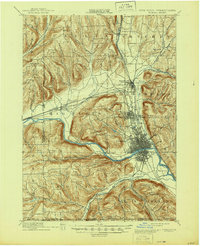
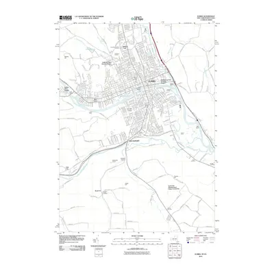
1950 Elmira
Chemung County, NY

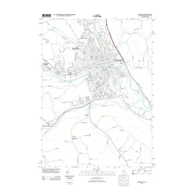
1953 Elmira
Chemung County, NY
1953 Elmira
Chemung County, NY

1958 Elmira
Chemung County, NY
1962 Elmira
Chemung County, NY

1965 Elmira
Chemung County, NY
1969 Elmira
Chemung County, NY

1986 Elmira
Chemung County, NY

1992 Elmira
Chemung County, NY
2010 Elmira
Chemung County, NY
2013 Elmira
Chemung County, NY
2016 Elmira
Chemung County, NY
2019 Elmira
Chemung County, NY

2023 Elmira
Chemung County, NY