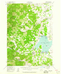
1957 Map of Elmira
USGS Topo · Published 1959About this map
Fern Ridge Reservoir dominates the eastern portion of this landscape, its waters reaching toward the settlements of Elmira and Veneta. This mid-century survey captures the region as the reservoir’s recreational value grew, evidenced by the Eugene Yacht Club and several state parks like Perkins Peninsula State Park. The Long Tom River winds through the valley, supporting a network of small communities including Noti, Franklin, and Cheshire.
Find a feature on this map
60 named features on this map. Tap any name to fly to it.
Don’t see what you’re looking for? This feature index may not catch every label — zoom into the map to look around manually.
Map Details
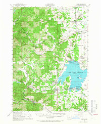
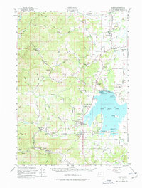
Editions of this 1957 Elmira Map
3 editions found
Other maps of this area

1909 · Harrisburg
USGS Topo · 1:31,680

1909 · Elmira
USGS Topo · 1:62,500

1910 · Eugene
USGS Topo · 1:62,500

1911 · Monroe
USGS Topo · 1:31,680

1912 · Halsey
USGS Topo · 1:62,500

1921 · Cottage Grove
USGS Topo · 1:62,500

1922 · Monroe
USGS Topo · 1:62,500

1922 · Elmira
USGS Topo · 1:62,500

1939 · Monroe
USGS Topo · 1:62,500

1940 · Eugene
USGS Topo · 1:62,500