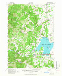
1957 Map of Elmira
USGS Topo · Published 1966About this map
The Fern Ridge Reservoir dominates the eastern half of this mid-century landscape, a major hydrological feature fed by the Long Tom River and Coyote Creek. This water system defines the region's character, with the Spillway and various recreation areas like Perkins Peninsula State Park and the Eugene Yacht Club marking the transition from timbered hills to a controlled water basin. Along the Southern Pacific Railroad line, the small hubs of Veneta, Noti, and Vaughn anchor the valley floor, while the presence of a Covered Bridge and multiple rural schools like Liberty Sch and Union High School reflect the established local infrastructure of the era.
Find a feature on this map
96 named features on this map. Tap any name to fly to it.
Don’t see what you’re looking for? This feature index may not catch every label — zoom into the map to look around manually.
Map Details
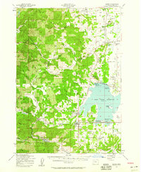
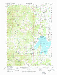
Editions of this 1957 Elmira Map
3 editions found
Other maps of this area

1909 · Harrisburg
USGS Topo · 1:31,680

1909 · Elmira
USGS Topo · 1:62,500

1910 · Eugene
USGS Topo · 1:62,500

1911 · Monroe
USGS Topo · 1:31,680

1912 · Halsey
USGS Topo · 1:62,500

1921 · Cottage Grove
USGS Topo · 1:62,500

1922 · Monroe
USGS Topo · 1:62,500

1922 · Elmira
USGS Topo · 1:62,500

1939 · Monroe
USGS Topo · 1:62,500

1940 · Eugene
USGS Topo · 1:62,500