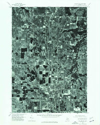
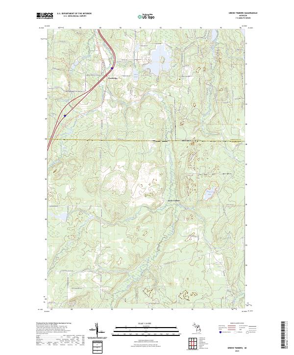
2023 Map of Elmira
USGS Topo · Published 2023About this map
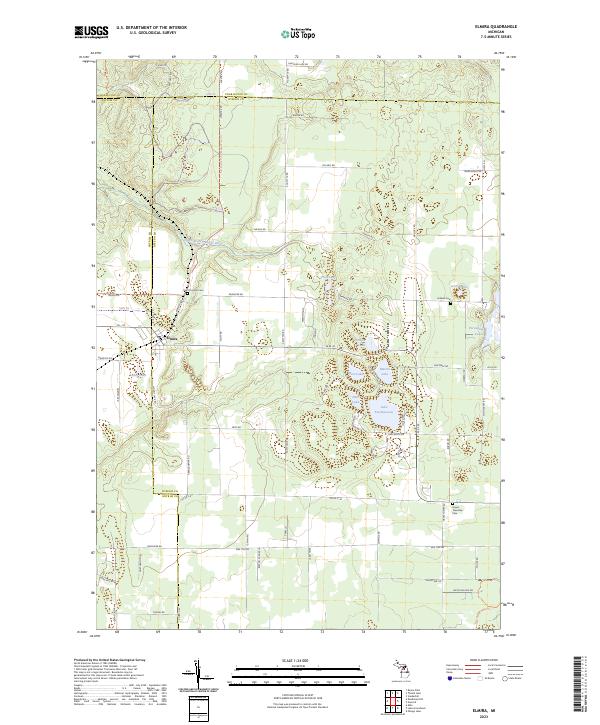
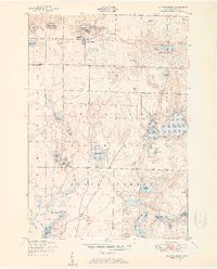
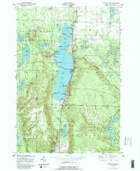
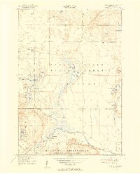
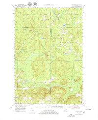
Elmira sits at the western edge of Otsego County, serving as a primary hub where regional roads and trails converge. The landscape is defined by its numerous kettle lakes and the headwaters of the South Branch Boyne River, which winds through the northern sections near t31n r5w. Historically significant sites for family researchers are distributed throughout the township, including Saint Thomas Cem near the village and Hallock Cem to the east. The terrain is notably marked by specialized recreation routes like the Tomahawk To Kalkaska Mccct Trl, illustrating the area's modern use for long-distance trail systems. Dense clusters of small water bodies such as Lake Twentyseven, Pettifor Lake, and Martin Lake highlight the glacial topography of this portion of Northern Michigan, while the intersection of M - 32 and Buel Rd anchors the local transport network.
Find a feature on this map
81 named features on this map. Tap any name to fly to it.
Don’t see what you’re looking for? This feature index may not catch every label — zoom into the map to look around manually.
Map Details
Editions of this 2023 Elmira Map
This is the sole edition of this map. No revisions or reprints were ever made.
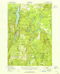
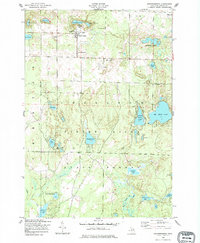
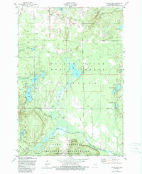
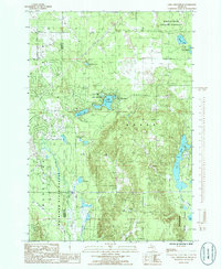
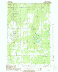
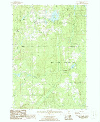
Historical Maps of Antrim County Through Time
23 maps found
1949 Otsego Lake
Otsego County, MI
1950 Johannesburg
Otsego County, MI
1950 Turtle Lake
Otsego County, MI
1951 Johannesburg
Otsego County, MI
1951 Otsego Lake
Otsego County, MI
1951 Turtle Lake
Otsego County, MI
1954 Hetherton
Otsego County, MI
1975 Gaylord SW
Otsego County, MI
1985 Lake Arrowhead
Otsego County, MI
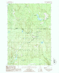
1986 Elmira
Otsego County, MI
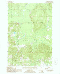
1986 Green Timbers
Otsego County, MI
1986 Hardwood Lake
Otsego County, MI
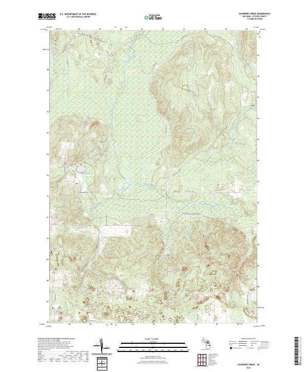
1986 Saunders Creek
Otsego County, MI
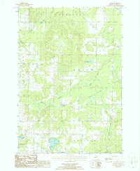
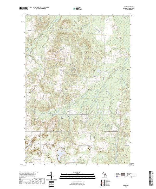
1986 Sparr
Otsego County, MI
2023 Elmira
Otsego County, MI
2023 Green Timbers
Otsego County, MI
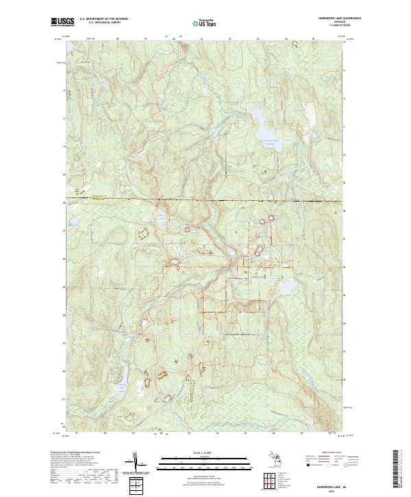
2023 Hardwood Lake
Otsego County, MI
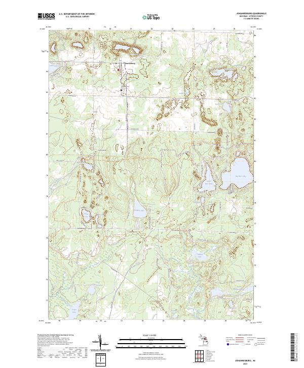
2023 Johannesburg
Otsego County, MI
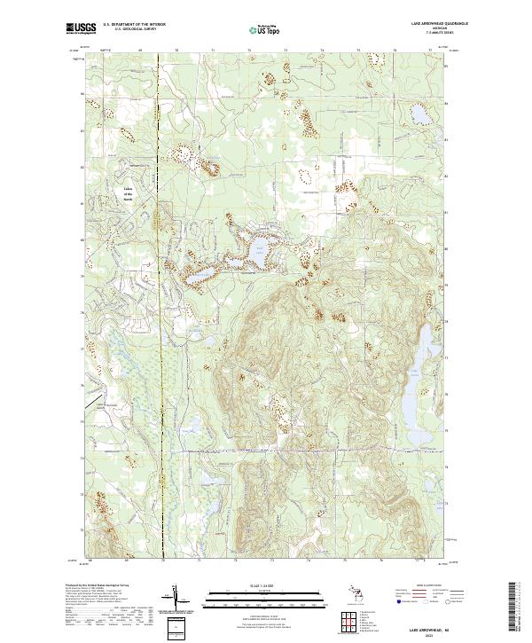
2023 Lake Arrowhead
Otsego County, MI
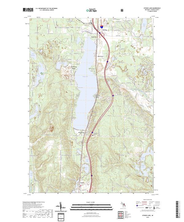
2023 Otsego Lake
Otsego County, MI
2023 Saunders Creek
Otsego County, MI
2023 Sparr
Otsego County, MI

2023 Turtle Lake
Otsego County, MI
Featured Locations
- Boyne Valley Township, MI
- Elmira Township, MI
- Warner Township, MI
- Star Township, MI
- Elmira, Elmira Township