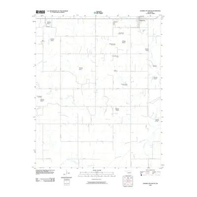
2009 Map of Elmore City South
USGS Topo · Published 2009About this map
Elmore City and the community of Foster anchor this 2009 survey of central Oklahoma, a landscape defined by an extensive system of water management. The area is marked by a high density of named flood control structures, including the McCaskill Gss Number 1 Dam and numerous numbered sites along the Wildhorse Creek and its tributaries. These features suggest a concerted effort to manage the drainages of Salt Creek, Honey Creek, and Rock Creek, which cut through a grid of rural county roads. For the family historian, the map identifies important local landmarks such as the Elmore City Cemetery and Foster Cemetery. The distribution of these small dams and pond sites across the agricultural terrain illustrates how modern engineering has been layered over the traditional ranching and farming landscape of Garvin County.
Find a feature on this map
47 named features on this map. Tap any name to fly to it.
Don’t see what you’re looking for? This feature index may not catch every label — zoom into the map to look around manually.
Map Details
Editions of this 2009 Elmore City South Map
This is the sole edition of this map. No revisions or reprints were ever made.
Other maps of this area

1898 · Pauls Valley
USGS Topo · 1:125,000

1901 · Addington
USGS Topo · 1:125,000

1901 · Ardmore
USGS Topo · 1:125,000

1902 · Pauls Valley
USGS Topo · 1:125,000

1902 · Rush Springs
USGS Topo · 1:125,000

1918 · Ardmore
USGS Topo · 1:125,000

1957 · Ardmore
USGS Topo · 1:250,000

1963 · Ardmore
USGS Topo · 1:250,000

1968 · Fox NE
USGS Topo · 1:24,000

1969 · Hennepin
USGS Topo · 1:24,000