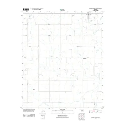
2012 Map of Elmore City South
USGS Topo · Published 2012About this map
Elmore City and its rural surroundings in Garvin County are detailed here during the early 2010s. The landscape is defined by a grid of section-line roads like Baseline Rd and Camelback Rd, connecting small settlements and farmsteads. Several distinct family and community burial grounds, including Little Flock Cem, Foster Cem, and Carver Cem, provide essential records for local genealogical research. The drainage patterns of Wildhorse Creek and Salt Creek dictate the terrain, with many small tributaries and stock ponds visible throughout the quadrangle. The presence of Entropy Airport and various named intersections like Satterwhite, Eola, and Carver illustrate the dispersed but organized settlement pattern characteristic of this part of Oklahoma. This survey serves as a clear record of the area's rural road network, from established routes like State Hwy 29 to smaller paths such as N3150 Rd.
Find a feature on this map
44 named features on this map. Tap any name to fly to it.
Don’t see what you’re looking for? This feature index may not catch every label — zoom into the map to look around manually.
Map Details
Editions of this 2012 Elmore City South Map
This is the sole edition of this map. No revisions or reprints were ever made.
Other maps of this area

1898 · Pauls Valley
USGS Topo · 1:125,000

1901 · Addington
USGS Topo · 1:125,000

1901 · Ardmore
USGS Topo · 1:125,000

1902 · Pauls Valley
USGS Topo · 1:125,000

1902 · Rush Springs
USGS Topo · 1:125,000

1918 · Ardmore
USGS Topo · 1:125,000

1957 · Ardmore
USGS Topo · 1:250,000

1963 · Ardmore
USGS Topo · 1:250,000

1968 · Fox NE
USGS Topo · 1:24,000

1969 · Hennepin
USGS Topo · 1:24,000