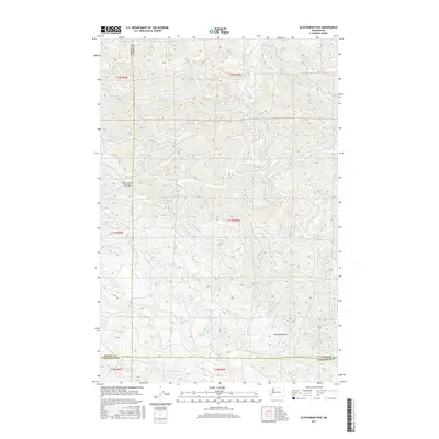
2017 Map of Elochoman Pass
USGS Topo · Published 2017About this map
Elochoman Pass sits at the southern edge of this heavily dissected landscape, marking a significant topographical transition where the headwaters of several major river systems converge. The terrain is defined by the intricate drainage networks of the Chehalis River, including its E Fork Chehalis River and W Fork Chehalis River, which carve deep valleys across the central and northern sections. This 2017 survey illustrates a wild, mountainous region primarily used for timber resources, evidenced by the dense network of unnamed forest roads winding through the ridges.
Find a feature on this map
25 named features on this map. Tap any name to fly to it.
Don’t see what you’re looking for? This feature index may not catch every label — zoom into the map to look around manually.
Map Details
Editions of this 2017 Elochoman Pass Map
This is the sole edition of this map. No revisions or reprints were ever made.
Other maps of this area
1941 · Walville
USGS Topo · 1:62,500
1941 · Meskill
USGS Topo · 1:62,500
1941 · Skamokawa
USGS Topo · 1:62,500

1953 · Hoquiam
USGS Topo · 1:250,000
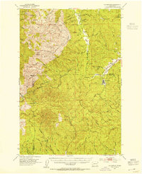
1953 · Ryderwood
USGS Topo · 1:62,500
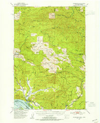
1953 · Skamokawa
USGS Topo · 1:62,500
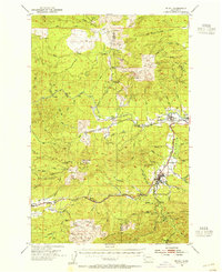
1953 · Pe Ell
USGS Topo · 1:62,500
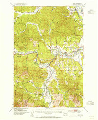
1953 · Adna
USGS Topo · 1:62,500
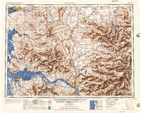
1957 · Hoquiam
USGS Topo · 1:250,000
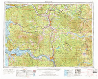
1958 · Hoquiam
USGS Topo · 1:250,000