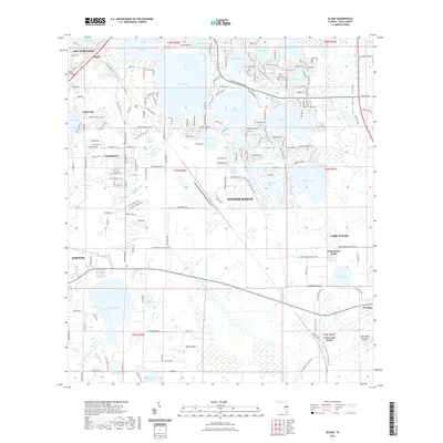
2021 Map of Eloise
USGS Topo · Published 2021About this map
Winter Haven and its surrounding lake-dotted landscape are the focal point of this 2021 survey, illustrating the complex intersection of residential growth and natural hydrography in Polk County. The map provides a detailed view of the Lake Wales Ridge and the numerous water bodies that define the region's geography, including Lake Eloise, Lake Lulu, and Lake Ashton. The settlement pattern ranges from the established streets of Lake Wales and Bartow to smaller communities such as Eloise and Wahneta. Infrastructural features like the Wahneta Farms Drainage Canal and the Lake Wales Municipal Airport show how the landscape has been managed for both water control and modern transport. For those tracing local history or family roots, the map provides exact coordinates for neighborhoods like Lake Shipp Heights and Floritan, along with landmarks such as West Scenic Park and the isolated Mule Island within the Peace Creek wetlands.
Find a feature on this map
203 named features on this map. Tap any name to fly to it.
Don’t see what you’re looking for? This feature index may not catch every label — zoom into the map to look around manually.
Map Details
Editions of this 2021 Eloise Map
This is the sole edition of this map. No revisions or reprints were ever made.
Other maps of this area

1944 · Auburndale
USGS Topo · 1:31,680

1949 · Bartow
USGS Topo · 1:24,000

1950 · Bartow
USGS Topo · 1:24,000

1952 · Homeland
USGS Topo · 1:24,000

1952 · Lake Wales
USGS Topo · 1:24,000

1952 · Babson Park
USGS Topo · 1:24,000

1953 · Dundee
USGS Topo · 1:24,000

1955 · Eloise
USGS Topo · 1:24,000

1955 · Alturas
USGS Topo · 1:24,000

1955 · Orlando
USGS Topo · 1:250,000