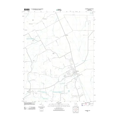
2011 Map of Elsberry
USGS Topo · Published 2011About this map
Elsberry serves as the primary hub of this eastern Missouri landscape, where the town's grid meets the wandering path of Lost Creek. The 2011 survey reveals an intricate system of water management structures, including the Lost Creek Watershed Sediment Control Structure F-4 Dam and the Clarence Cannon Memorial Watershed Number 2 Reservoir, which illustrate modern efforts to control the drainage into the nearby Mississippi River floodplain.
Find a feature on this map
74 named features on this map. Tap any name to fly to it.
Don’t see what you’re looking for? This feature index may not catch every label — zoom into the map to look around manually.
Map Details
Editions of this 2011 Elsberry Map
This is the sole edition of this map. No revisions or reprints were ever made.
Other maps of this area

1930 · Pearl
USGS Topo · 1:62,500

1930 · Nebo
USGS Topo · 1:62,500

1930 · Hardin
USGS Topo · 1:62,500

1934 · Nebo
USGS Topo · 1:48,000

1934 · Elsberry
USGS Topo · 1:48,000

1934 · Hardin
USGS Topo · 1:62,500

1938 · Hardin
USGS Topo · 1:62,500

1942 · Nebo
USGS Topo · 1:62,500

1942 · Elsberry
USGS Topo · 1:62,500

1948 · Quincy
USGS Topo · 1:250,000