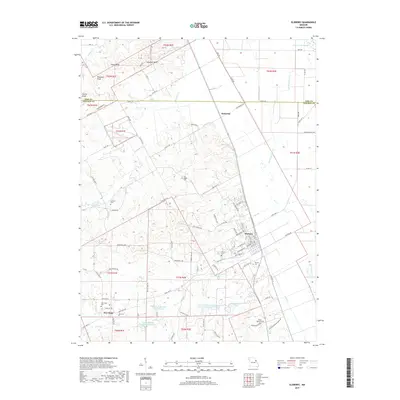
2017 Map of Elsberry
USGS Topo · Published 2017About this map
Elsberry serves as the primary hub of this eastern Missouri landscape, situated near the transition from the rolling uplands of the t51n r2e township to the fertile lowlands of the Mississippi River valley. This 2017 survey details a landscape defined by water management and rural heritage, featuring numerous watershed structures like the Lost Cr Watershed F-2 Lake and Lincoln County Number 2 Reservoir. For genealogists and local historians, the map is a dense record of family and community sites, preserving the locations of several burial grounds such as Oak Ridge Cem, Cannon Cem, and the Vance-Seaman Cem. Notable topographical landmarks like Saltpeter Bluff and Steel Point rise above the drainage of Guinns Cr and Bryants Cr in the north, while the southern reaches center on the smaller settlement of New Hope.
Find a feature on this map
93 named features on this map. Tap any name to fly to it.
Don’t see what you’re looking for? This feature index may not catch every label — zoom into the map to look around manually.
Map Details
Editions of this 2017 Elsberry Map
This is the sole edition of this map. No revisions or reprints were ever made.
Other maps of this area
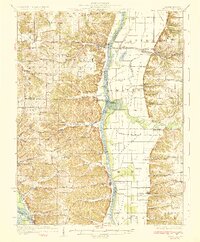
1930 · Pearl
USGS Topo · 1:62,500
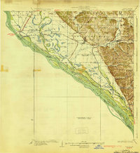
1930 · Nebo
USGS Topo · 1:62,500
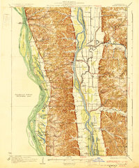
1930 · Hardin
USGS Topo · 1:62,500
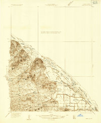
1934 · Nebo
USGS Topo · 1:48,000
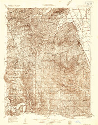
1934 · Elsberry
USGS Topo · 1:48,000
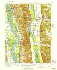
1934 · Hardin
USGS Topo · 1:62,500
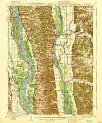
1938 · Hardin
USGS Topo · 1:62,500
1942 · Nebo
USGS Topo · 1:62,500
1942 · Elsberry
USGS Topo · 1:62,500
1948 · Quincy
USGS Topo · 1:250,000