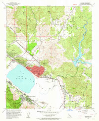
1953 Map of Elsinore
USGS Topo · Published 1953About this map
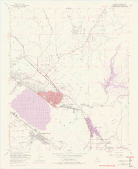
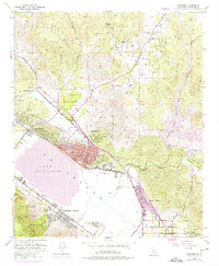
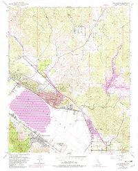
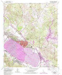
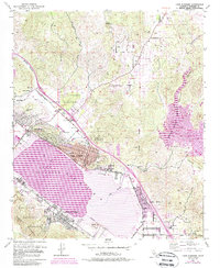
Lake Elsinore dominates the southern landscape, its blue expanse bordered by the burgeoning tracks of the Atchison Topeka and Santa Fe railroad. This era sees the valley in a state of transition, where established mining operations like the Good Hope Mine and multiple Clay Pits exist alongside agricultural outposts like Hammock Ranch. The town of Elsinore serves as a central hub, with its grid expanding toward North Elsinore and Lakeland Village. The presence of the Railroad Canyon Reservoir and the San Jacinto River highlights the critical role of water management in this arid corridor. Local infrastructure is well-defined by landmark sites such as the Elsinore Valley Cem and Castle Lake School, while the rugged heights of the Cleveland National Forest and the Sedco Hills provide a sharp contrast to the developed Warm Springs Valley.
Find a feature on this map
38 named features on this map. Tap any name to fly to it.
Don’t see what you’re looking for? This feature index may not catch every label — zoom into the map to look around manually.
Map Details
Editions of this 1953 Elsinore Map
9 editions found
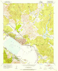
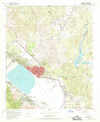
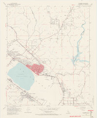
Other maps of this area

1901 · Southern California Sheet No. 1
USGS Topo · 1:250,000

1901 · Elsinore
USGS Topo · 1:125,000

1901 · Riverside
USGS Topo · 1:62,500

1904 · Southern California Sheet No. 1
USGS Topo · 1:250,000

1942 · Lake Elsinore
USGS Topo · 1:62,500

1942 · Murrieta
USGS Topo · 1:62,500

1942 · Riverside
USGS Topo · 1:62,500

1942 · Perris
USGS Topo · 1:62,500

1943 · Perris
USGS Topo · 1:62,500

1943 · Riverside
USGS Topo · 1:62,500