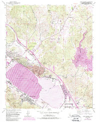
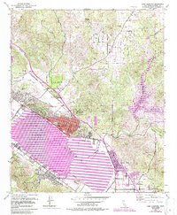
1953 Map of Lake Elsinore
USGS Topo · Published 1988About this map
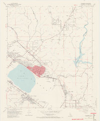
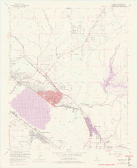
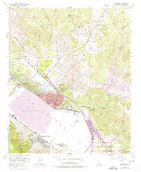
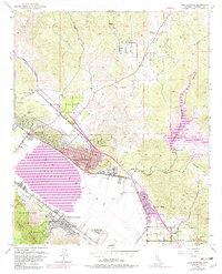
Lake Elsinore and the surrounding Warm Springs Valley are defined here by a mix of natural drainage and industrial history. The presence of the Good Hope Mine with its associated Tailings and various Clay Pits near Terra Cotta points to the area's rich mineral and extractive history. The residential core of Lake Elsinore is anchored by its High Sch and City Hall, while the shorelines are shared between the Lake Elsinore State Recreation Area and newer developments like Lakeland Village.
Find a feature on this map
42 named features on this map. Tap any name to fly to it.
Don’t see what you’re looking for? This feature index may not catch every label — zoom into the map to look around manually.
Map Details
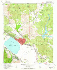
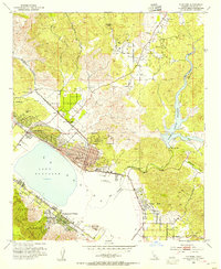
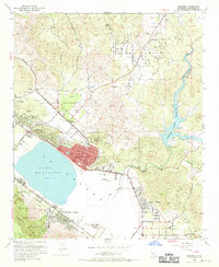
Editions of this 1953 Lake Elsinore Map
9 editions found
Other maps of this area

1901 · Southern California Sheet No. 1
USGS Topo · 1:250,000

1901 · Elsinore
USGS Topo · 1:125,000

1901 · Riverside
USGS Topo · 1:62,500

1904 · Southern California Sheet No. 1
USGS Topo · 1:250,000

1942 · Lake Elsinore
USGS Topo · 1:62,500

1942 · Murrieta
USGS Topo · 1:62,500

1942 · Riverside
USGS Topo · 1:62,500

1942 · Perris
USGS Topo · 1:62,500

1943 · Perris
USGS Topo · 1:62,500

1943 · Riverside
USGS Topo · 1:62,500