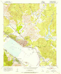
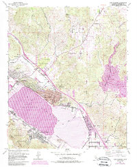
1953 Map of Elsinore
USGS Topo · Published 1954About this map
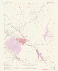
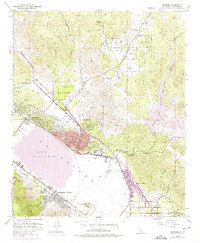
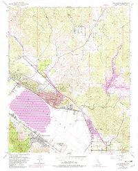
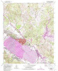
Lake Elsinore (Laguna) dominates the southwestern landscape of this 1953 survey, which documents the region's transition from a mineral and ranching hub toward a burgeoning lakeside community. The local economy is represented by the Good Hope Mine to the north and various Clay Pits near the settlement of Terra Cotta, while the Atchison Topeka and Santa Fe Railroad tracks provide the primary industrial lifeline through Warm Springs Valley. In the community center of Elsinore, key civic features such as City Hall and the High Sch appear alongside developed streets like Riverside Drive. Outside the main town, residential and agricultural patterns are visible at Lakeland Village and Hammock Ranch, framed by the southern edge of the Cleveland National Forest and the peaks of the Elsinore Mountains. This document is especially valuable for tracing mid-century property lines and early transportation infrastructure like the local Landing Strip.
Find a feature on this map
35 named features on this map. Tap any name to fly to it.
Don’t see what you’re looking for? This feature index may not catch every label — zoom into the map to look around manually.
Map Details
Editions of this 1953 Elsinore Map
9 editions found
Other maps of this area

1901 · Southern California Sheet No. 1
USGS Topo · 1:250,000

1901 · Elsinore
USGS Topo · 1:125,000

1901 · Riverside
USGS Topo · 1:62,500

1904 · Southern California Sheet No. 1
USGS Topo · 1:250,000

1942 · Lake Elsinore
USGS Topo · 1:62,500

1942 · Murrieta
USGS Topo · 1:62,500

1942 · Riverside
USGS Topo · 1:62,500

1942 · Perris
USGS Topo · 1:62,500

1943 · Perris
USGS Topo · 1:62,500

1943 · Riverside
USGS Topo · 1:62,500