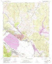
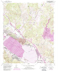
1953 Map of Lake Elsinore
USGS Topo · Published 1982About this map
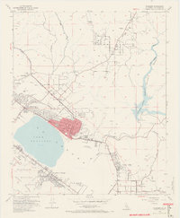
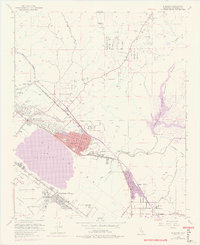
Lake Elsinore and the seasonal waters of the San Jacinto River dominate this mid-century portrait of a changing Riverside County landscape. The town of Lake Elsinore is the focal point, showing a developed grid near the shoreline while industrial remnants like the Good Hope Mine and various Clay Pits near Terra Cotta point to the area's extraction history. Transportation is defined by the Atchison Topeka and Santa Fe Railroad corridor, which passes through North Elsinore and alongside Durant Siding. Regional development is visible in the residential layout of Lakeland Village and Sedco Hills, while the western edge is bounded by the Santa Ana Mountains and the protected slopes of the Cleveland National Forest. Smaller landmarks like Castle Lake School and the Elsinore Valley Cem provide essential anchor points for local history and genealogy.
Find a feature on this map
41 named features on this map. Tap any name to fly to it.
Don’t see what you’re looking for? This feature index may not catch every label — zoom into the map to look around manually.
Map Details
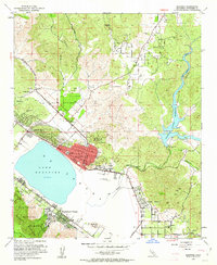
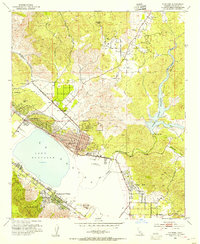
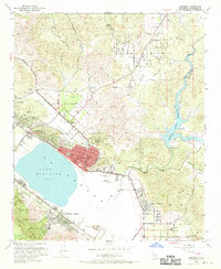
Editions of this 1953 Lake Elsinore Map
9 editions found
Other maps of this area

1901 · Southern California Sheet No. 1
USGS Topo · 1:250,000

1901 · Elsinore
USGS Topo · 1:125,000

1901 · Riverside
USGS Topo · 1:62,500

1904 · Southern California Sheet No. 1
USGS Topo · 1:250,000

1942 · Lake Elsinore
USGS Topo · 1:62,500

1942 · Murrieta
USGS Topo · 1:62,500

1942 · Riverside
USGS Topo · 1:62,500

1942 · Perris
USGS Topo · 1:62,500

1943 · Perris
USGS Topo · 1:62,500

1943 · Riverside
USGS Topo · 1:62,500