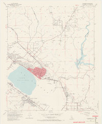
1953 Map of Elsinore
USGS Topo · Published 1970About this map
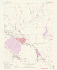
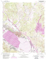
Lake Elsinore and the Laguna dominate this Riverside County landscape, where the San Jacinto River feeds into a wide basin before entering the Cleveland National Forest. The early 1950s infrastructure reflects a transition between ranching and burgeoning lakeside development, with the Atchison Topeka and Santa Fe Railroad cutting through Warm Springs Valley and serving Durant Siding. Historic extractive industries are visible in the north at the Good Hope Mine and various clay pits near Terra Cotta, while the town center of Elsinore shows established civic life through its high school, City Hall, and the nearby Elsinore Valley Cemetery. Further south, the Railroad Canyon Reservoir and its spillway mark the controlled water system that defines this arid valley.
Find a feature on this map
39 named features on this map. Tap any name to fly to it.
Don’t see what you’re looking for? This feature index may not catch every label — zoom into the map to look around manually.
Map Details
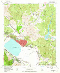
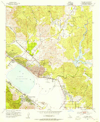
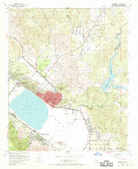
Editions of this 1953 Elsinore Map
9 editions found
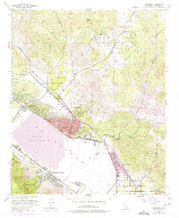
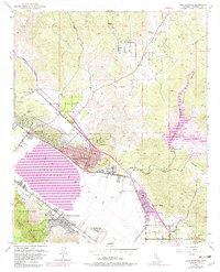
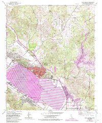
Other maps of this area

1901 · Southern California Sheet No. 1
USGS Topo · 1:250,000

1901 · Elsinore
USGS Topo · 1:125,000

1901 · Riverside
USGS Topo · 1:62,500

1904 · Southern California Sheet No. 1
USGS Topo · 1:250,000

1942 · Lake Elsinore
USGS Topo · 1:62,500

1942 · Murrieta
USGS Topo · 1:62,500

1942 · Riverside
USGS Topo · 1:62,500

1942 · Perris
USGS Topo · 1:62,500

1943 · Perris
USGS Topo · 1:62,500

1943 · Riverside
USGS Topo · 1:62,500