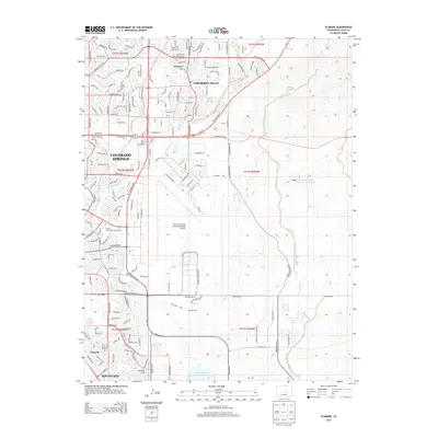
2013 Map of Elsmere
USGS Topo · Published 2013About this map
The City of Colorado Springs Municipal Airport dominates the central portion of this 2013 survey, reflecting the significant aviation and infrastructure footprint on the eastern edge of the Front Range. Urban expansion is visible through the residential developments of Cimarron Hills and Elsmere, contrasted with the industrial and recreational sites like the Pikes Peak Speedway. The landscape is defined by the drainages of Sand Creek and Jimmy Camp Creek, which are punctuated by man-made water storage facilities including Big Johnson Reservoir and Banning Lewis Reservoir Number 8. To the south, the map reaches toward Fountain and Security, showcasing the interconnected roadway network of Powers Blvd and E US Highway 24 that facilitates the region's rapid 21st-century growth while navigating terrain features like Skinner Hill.
Find a feature on this map
45 named features on this map. Tap any name to fly to it.
Don’t see what you’re looking for? This feature index may not catch every label — zoom into the map to look around manually.
Map Details
Editions of this 2013 Elsmere Map
This is the sole edition of this map. No revisions or reprints were ever made.
Other maps of this area
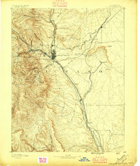
1893 · Colorado Springs
USGS Topo · 1:125,000
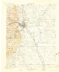
1909 · Colorado Springs
USGS Topo · 1:125,000
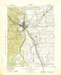
1942 · Colorado Springs
USGS Topo · 1:125,000
1948 · Falcon
USGS Topo · 1:24,000
1948 · Colorado Springs
USGS Topo · 1:62,500
1948 · Pikeview
USGS Topo · 1:24,000
1948 · Fountain
USGS Topo · 1:24,000
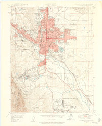
1948 · Colorado Springs
USGS Topo · 1:24,000
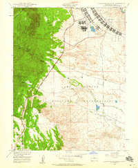
1948 · Cheyenne Mountain
USGS Topo · 1:24,000
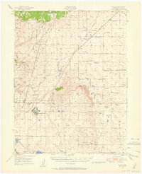
1948 · Falcon
USGS Topo · 1:62,500