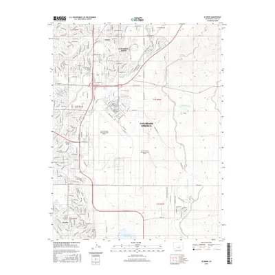
2016 Map of Elsmere
USGS Topo · Published 2016About this map
The City of Colorado Springs Municipal Airport dominates the central landscape of this 2016 survey, illustrating the significant footprint of aviation and military infrastructure on the city's eastern edge. This area, located in El Paso County, shows a transition from the dense residential developments of Cimarron Hills and Security to the more open terrain of the Banning Lewis Reservoir Number 8. The map documents a sophisticated network of higher education and military facilities, including the Pikes Peak Community Coll Peterson Air Force Base and the National American Univ Colorado Springs. Water management is a visible priority across the prairie, evidenced by the Big Johnson Reservoir and Little Johnson Reservoir which sit south of Skinner Hill. Natural drainage follows Jimmy Camp Creek and Sand Creek, carving through the residential blocks and industrial zones of the modern Colorado Springs metropolitan area.
Find a feature on this map
212 named features on this map. Tap any name to fly to it.
Don’t see what you’re looking for? This feature index may not catch every label — zoom into the map to look around manually.
Map Details
Editions of this 2016 Elsmere Map
This is the sole edition of this map. No revisions or reprints were ever made.
Other maps of this area
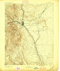
1893 · Colorado Springs
USGS Topo · 1:125,000
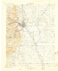
1909 · Colorado Springs
USGS Topo · 1:125,000
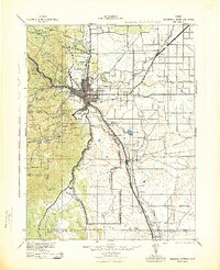
1942 · Colorado Springs
USGS Topo · 1:125,000
1948 · Falcon
USGS Topo · 1:24,000
1948 · Colorado Springs
USGS Topo · 1:62,500
1948 · Pikeview
USGS Topo · 1:24,000
1948 · Fountain
USGS Topo · 1:24,000
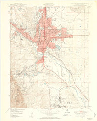
1948 · Colorado Springs
USGS Topo · 1:24,000
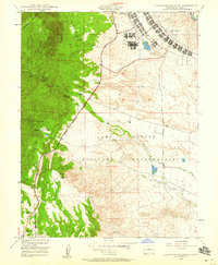
1948 · Cheyenne Mountain
USGS Topo · 1:24,000
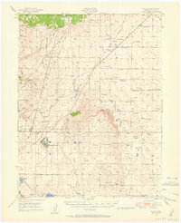
1948 · Falcon
USGS Topo · 1:62,500