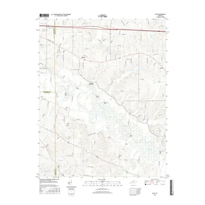
2016 Map of Elva
USGS Topo · Published 2016About this map
The Clarks River winds through this landscape at the intersection of McCracken, Graves, and Marshall counties. The bottomlands are defined by complex water features like Milliken Swamp, Persimmon Slough, and the distinctive Devils Elbow bend. Small rural settlements including Sharpe, Elva, Palma, and Iola anchor the surrounding uplands, connected by a network of local roads that follow the ridges above the river basin.
Find a feature on this map
130 named features on this map. Tap any name to fly to it.
Don’t see what you’re looking for? This feature index may not catch every label — zoom into the map to look around manually.
Map Details
Editions of this 2016 Elva Map
This is the sole edition of this map. No revisions or reprints were ever made.
Other maps of this area

1926 · Paducah
USGS Topo · 1:62,500

1929 · Smithland
USGS Topo · 1:62,500

1929 · Paducah
USGS Topo · 1:62,500

1936 · Paducah
USGS Topo · 1:24,000

1936 · Oak Level
USGS Topo · 1:24,000

1936 · Elva
USGS Topo · 1:24,000

1936 · Hardin
USGS Topo · 1:24,000

1936 · Smithland
USGS Topo · 1:48,000

1936 · Symsonia
USGS Topo · 1:24,000

1936 · Benton
USGS Topo · 1:48,000