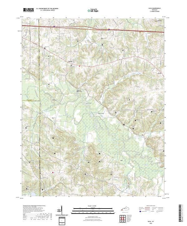
2022 Map of Elva
USGS Topo · Published 2022About this map
Clarks River meanders through the heart of this landscape, defining a complex system of wetlands including Milliken Swamp, Coon Pond, and Benge Pond. The terrain is marked by distinctive local landmarks like Hogskin Ridge and the Devils Elbow, reflecting the intricate drainage patterns of the western Kentucky lowlands. This modern survey captures the rural character of Marshall County, where small settlements like Sharpe, Elva, and Iola are connected by a network of local roads such as Scale Rd and Griggstown Rd.
Find a feature on this map
142 named features on this map. Tap any name to fly to it.
Don’t see what you’re looking for? This feature index may not catch every label — zoom into the map to look around manually.
Map Details
Editions of this 2022 Elva Map
This is the sole edition of this map. No revisions or reprints were ever made.
Other maps of this area

1926 · Paducah
USGS Topo · 1:62,500

1929 · Smithland
USGS Topo · 1:62,500

1929 · Paducah
USGS Topo · 1:62,500

1936 · Paducah
USGS Topo · 1:24,000

1936 · Oak Level
USGS Topo · 1:24,000

1936 · Elva
USGS Topo · 1:24,000

1936 · Hardin
USGS Topo · 1:24,000

1936 · Smithland
USGS Topo · 1:48,000

1936 · Symsonia
USGS Topo · 1:24,000

1936 · Benton
USGS Topo · 1:48,000